
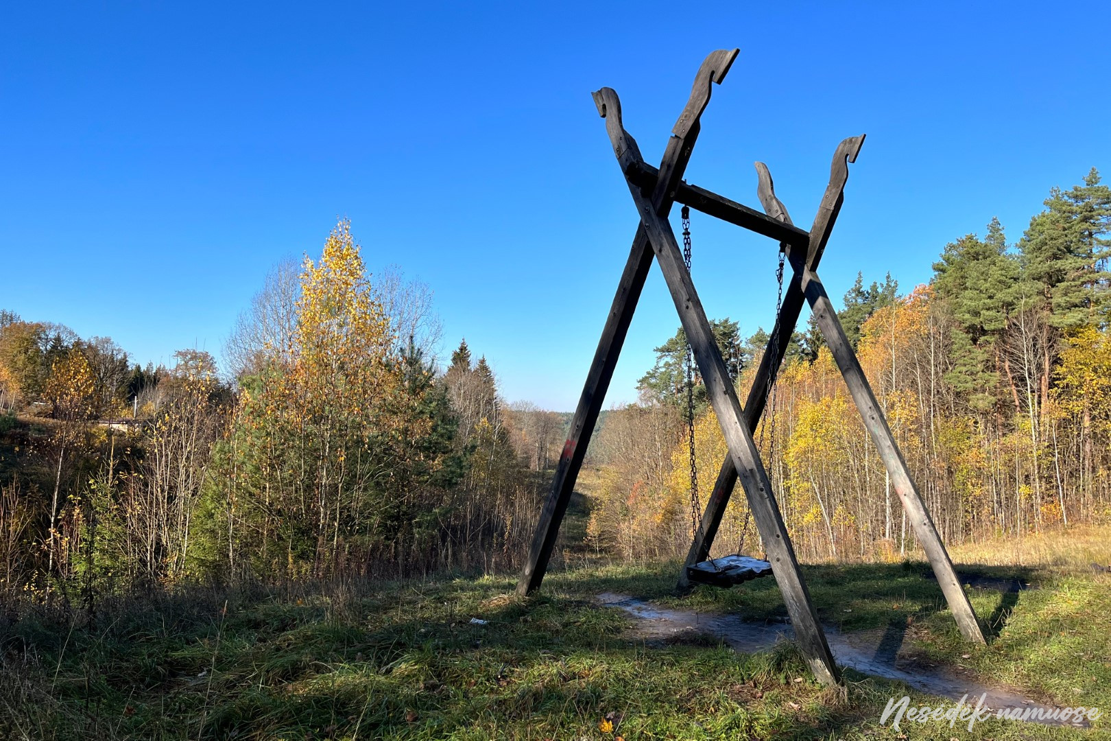
The Tuputiškės serpentine not only connects Lower Pavilni with Upper Pavilni, it also connects the II and III stages of the trail around Vilnius. The beginning of the third stage, which started from him, does not require as much strength as the one before it. A few hundred meters away, the last ascent to the top awaits, where a swing decorated with spikes is installed on the hill. I wish there were more places like this on the route. Swings, observation decks or towers, cozy rest areas, interesting information stands would make the path around Vilnius more attractive not only between for amateurs, but also for a much wider part of society. From a cognitive point of view, the trail has great potential, which is now poorly exploited.
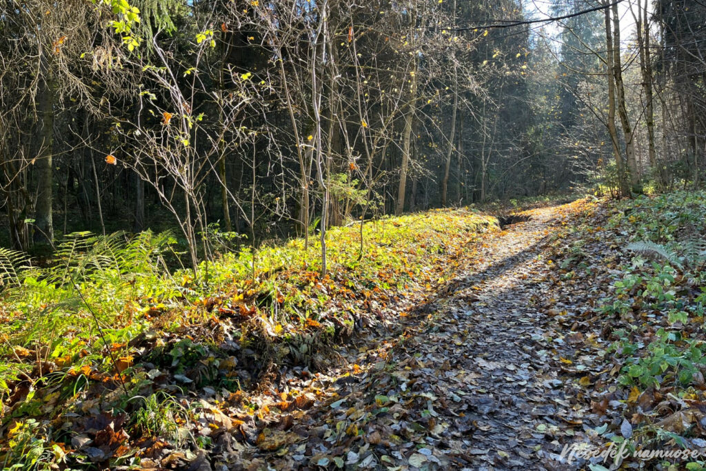


Photo: nesedeknamume.lt
The same Pavilnys, through which the third section of the trail leads for a short time, hides a number of stories. The views you see while traveling along the sidewalks of this area are somewhat boring. Unless you are here for the first time and are surprised by the fact that there are districts in Vilnius without apartment buildings. Back in the 100th century in the beginning, this area was supposed to become a settlement of railway workers. After receiving the name Colony, it had to combine the advantages of city and country life. Gradually, the settlement became a prestigious place with good infrastructure, which is why the urban elite was formed here. All this was almost XNUMX years ago, so it may appear that Pavilnys is stuck in that era.
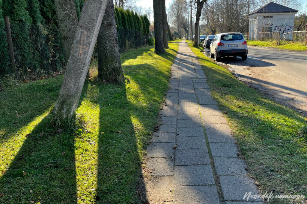
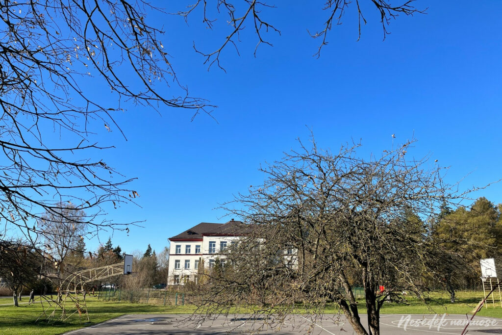

Photo: nesedeknamume.lt


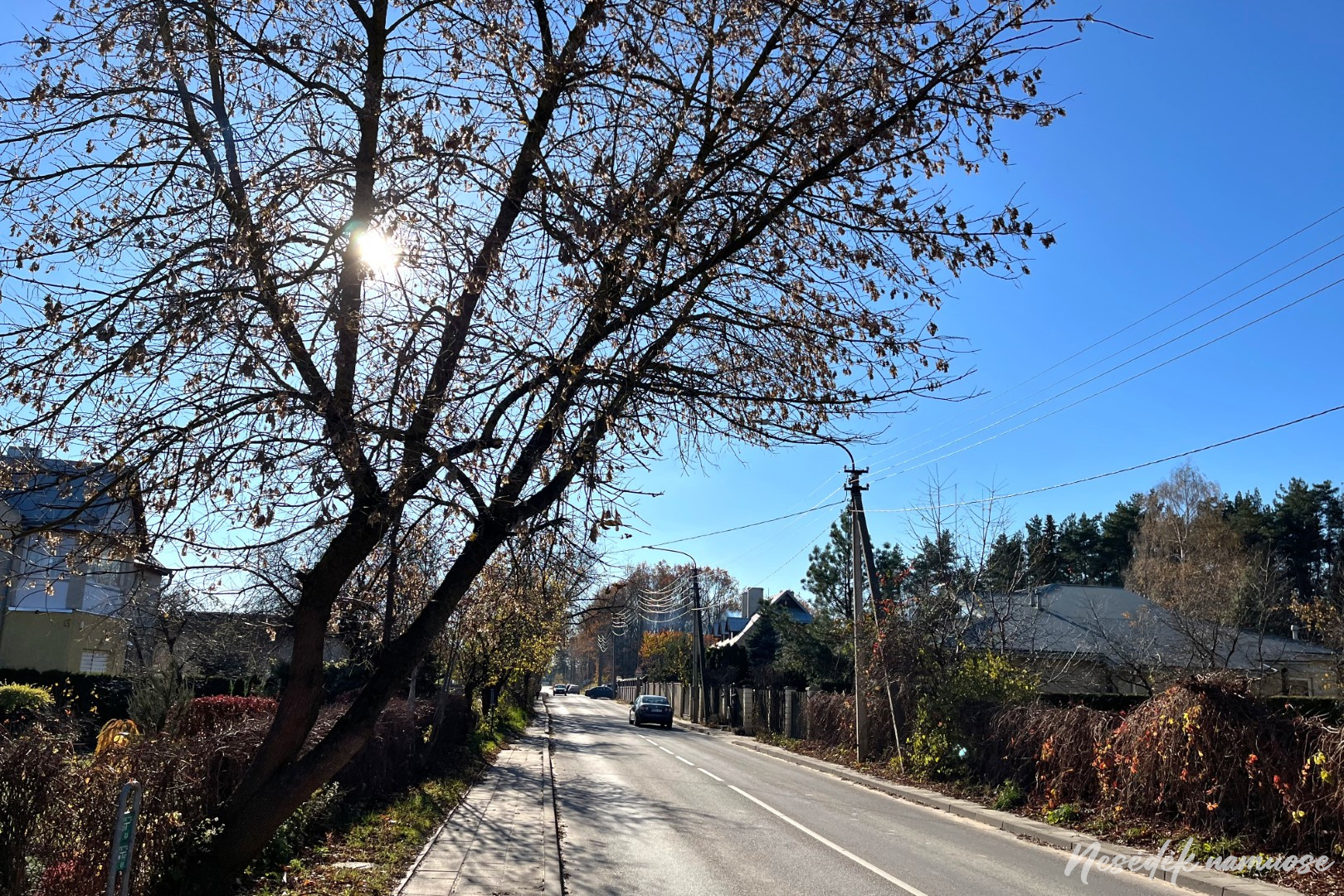
Old times are also remembered by the Black Road, which the route crosses as it approaches Ribiškii. I had to read that the road got its name because in ancient times those traveling along it were often attacked by robbers. Meanwhile, Wikipedia barely mentions it. According to the version presented in it, this name arose because this road, which started from the Subačias gate of the defensive wall of Vilnius, used to lead to the no longer existing manor by the Black River.
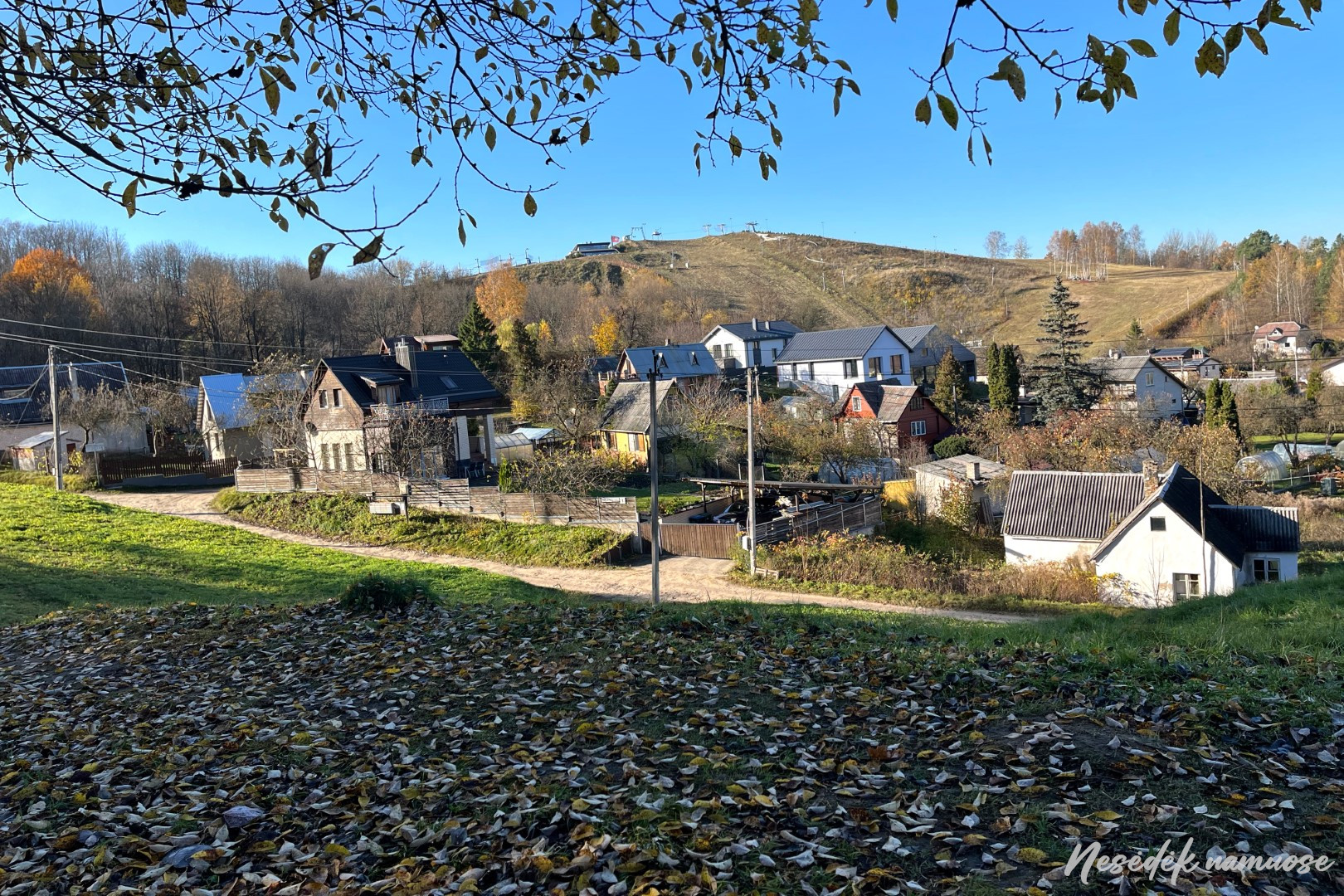
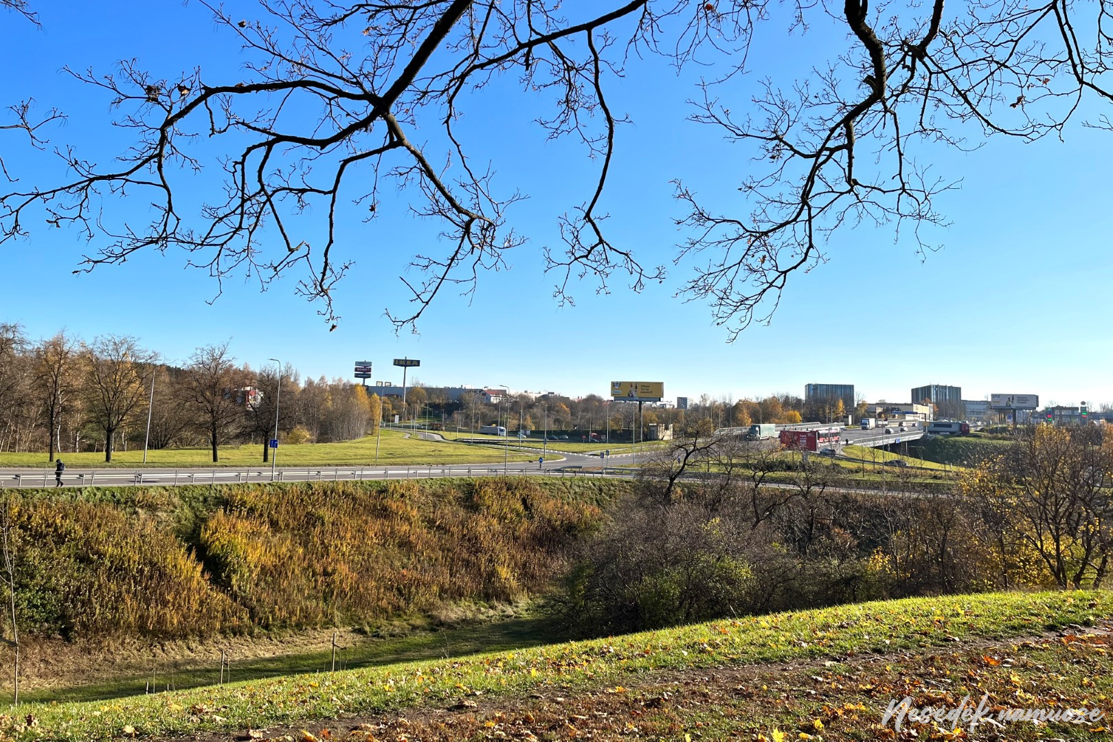
Pavilnyi remains behind, but Pavilnyi Regional Park does not end there. Although it is the smallest regional park in Lithuania, its territory stretches as many as 3 sections of the trail around Vilnius. And that's not all - nearing the end, the trail around Vilnius will return to Pavilniai Regional Park. The landscape protected by the regional park, characterized by exceptional and unique landforms, is a legacy of melting glaciers, according to Kudaba, which has no analogues in the whole of Europe. This can be felt perfectly when climbing the constantly ascending and descending paths. Of course, the most pleasant thing that can be experienced is to enjoy the views when you reach the observation deck. There were already several of them on the route - the Pūčkiori exposure, the observation deck at the New Vilnius burial mound, the Rokantiškii castle and another one located further away in the hills of Pavilni.


Photo: nesedeknamume.lt


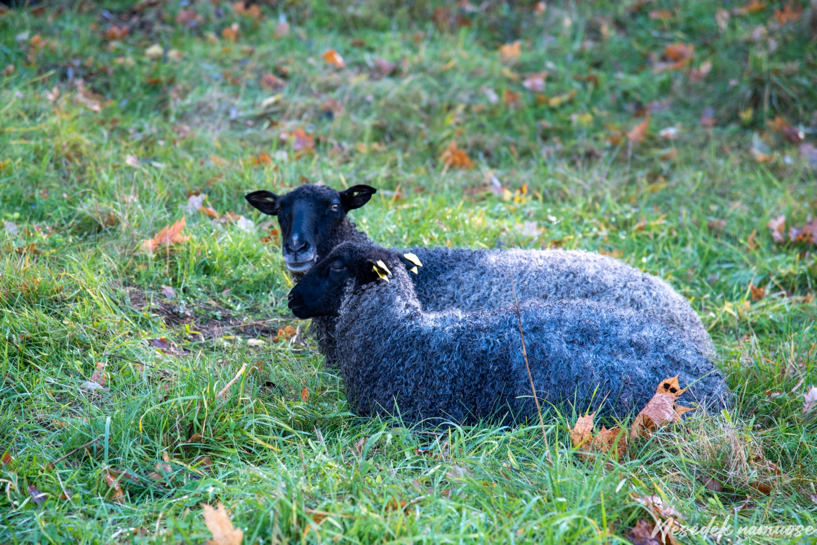
The walk ends in a flat area and the route dives down on the very first track, to the bottom of the so-called erosion fan. Although the Ribiškės kalvynas used to be much less covered with trees, now the landscape has changed. There are no more farming local residents who used to mow the hilly meadows and graze their animals. True, the grazing animals have been replaced by a herd of sheep, and the Vilnius authorities hope that these smart lawnmowers at least to some extent will help restore the landscape of natural grasslands and increase biodiversity. Just a week ago, the sheep were still enjoying the last rays of the autumn sun, but when the weather got colder, they were moved to a wintering place.
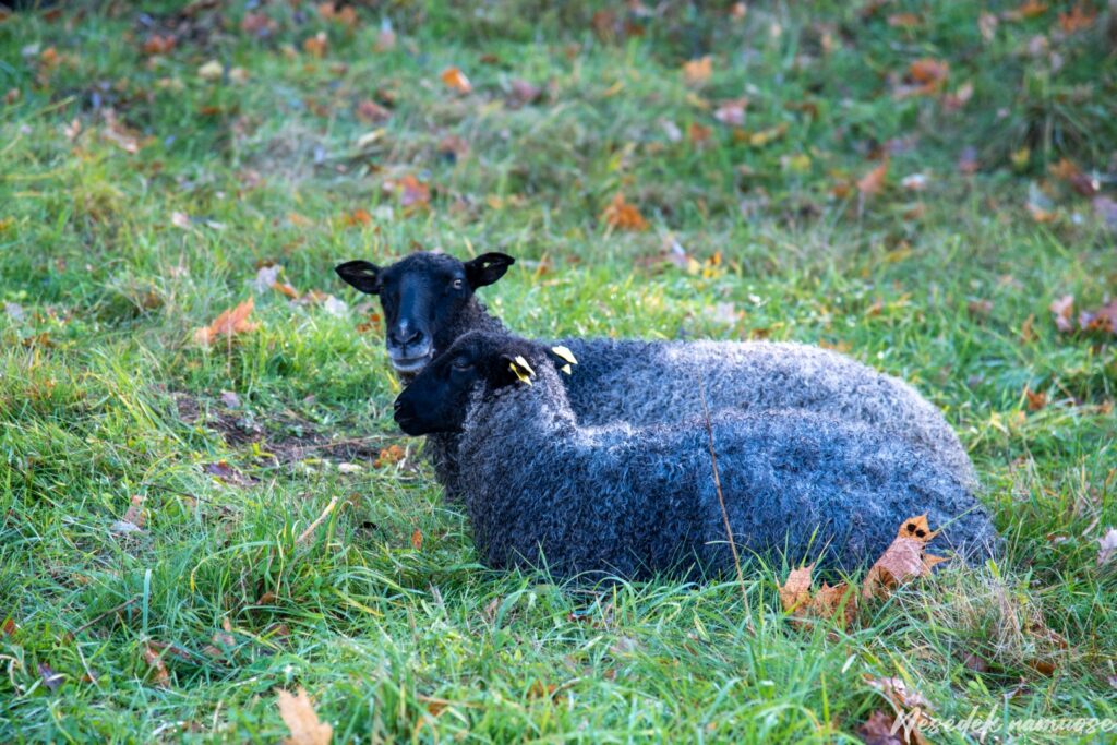
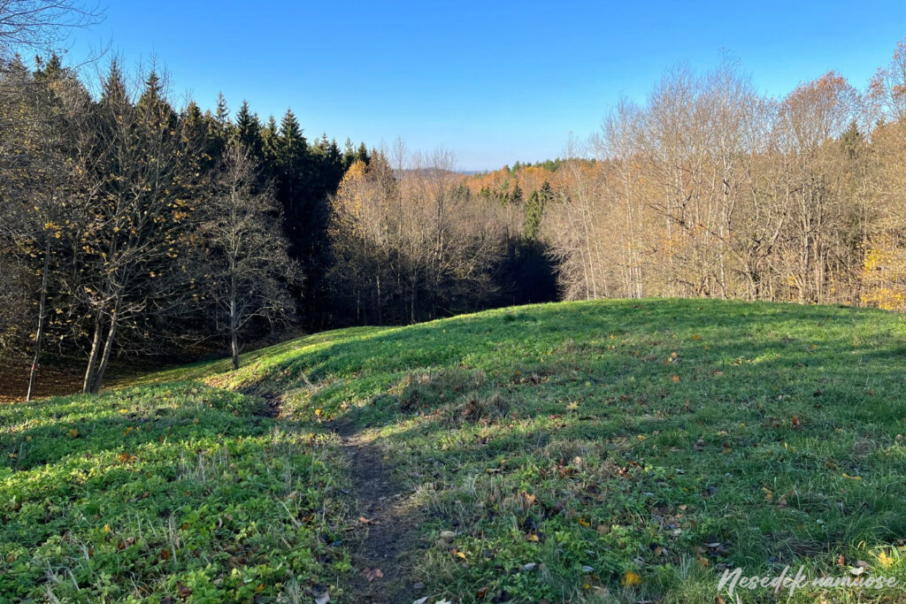
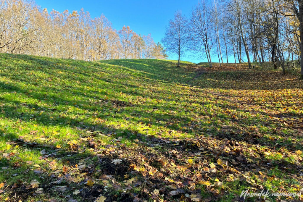
Photo: nesedeknamume.lt


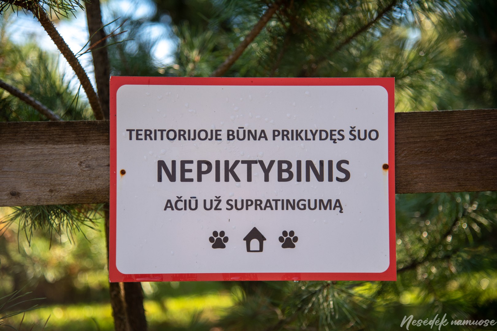
When traveling through Ribiškie on the path around Vilnius or on the Ribiškii educational path, the routes of which overlap in several sections, you can also see newly revived homesteads. A loose dog kept in one of them stumbles, which maybe out of lack of something to do, or maybe out of curiosity, meets right on the path. Applause and run home, and the sign nailed to the fence that "there is a stray dog in the territory, non-malicious, thank you for your understanding" shows that the owners themselves could be more understanding and responsible.
The path goes up and down again, its route is distinguished by Along the Ribiškii educational trail, but meet again later. On the left side, you can see the lifts installed on the slopes of the hill and the summer toboggan run. This is Liepkalnis - the highest place in Vilnius. He became this way not without the help of human hands. The top of the hill, now 235 meters above sea level, used to be about 18 meters lower. Once, the skiing enthusiast Laimis Janutėnas came up with the idea of installing mountain skiing tracks here and raised the hill artificially. He not only established the largest mountain skiing center in Vilnius, but also immortalized it, because the mountain is now named after him.
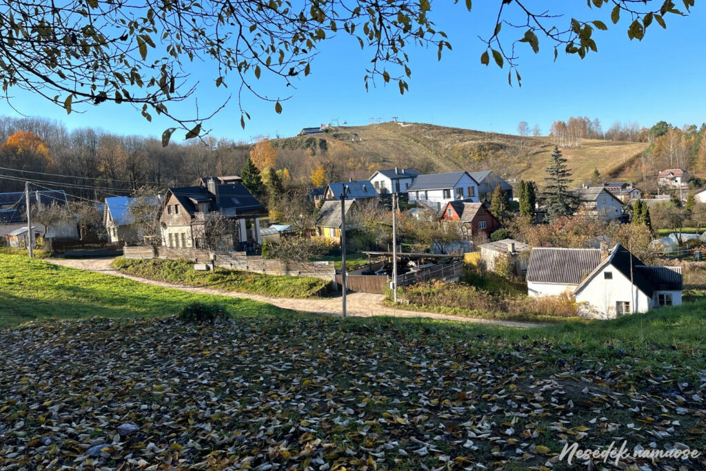
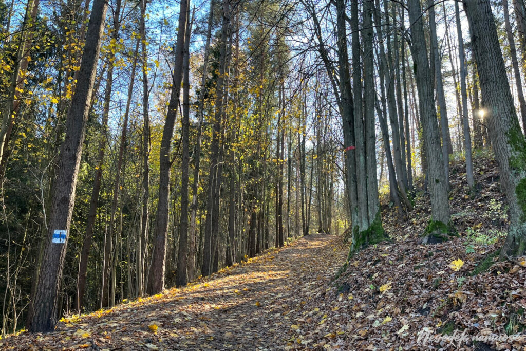

Photo: nesedeknamume.lt

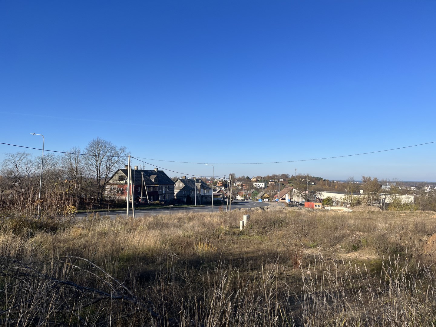
The territory of the Pavilnis regional park ends outside Liepkalnis, and after crossing the busy Liepkalnis street, the route leads to Naujininkai. Even last year, the unpaved Jotvingiai street, leading through thickets, rubbish dumps and never-ending constructions, looked like a place forgotten by God, but now the raised cottages are preparing to welcome the first settlers. And the path connecting Jotvingiai street with Naujininkai has not changed much and you want to cross it as soon as possible.
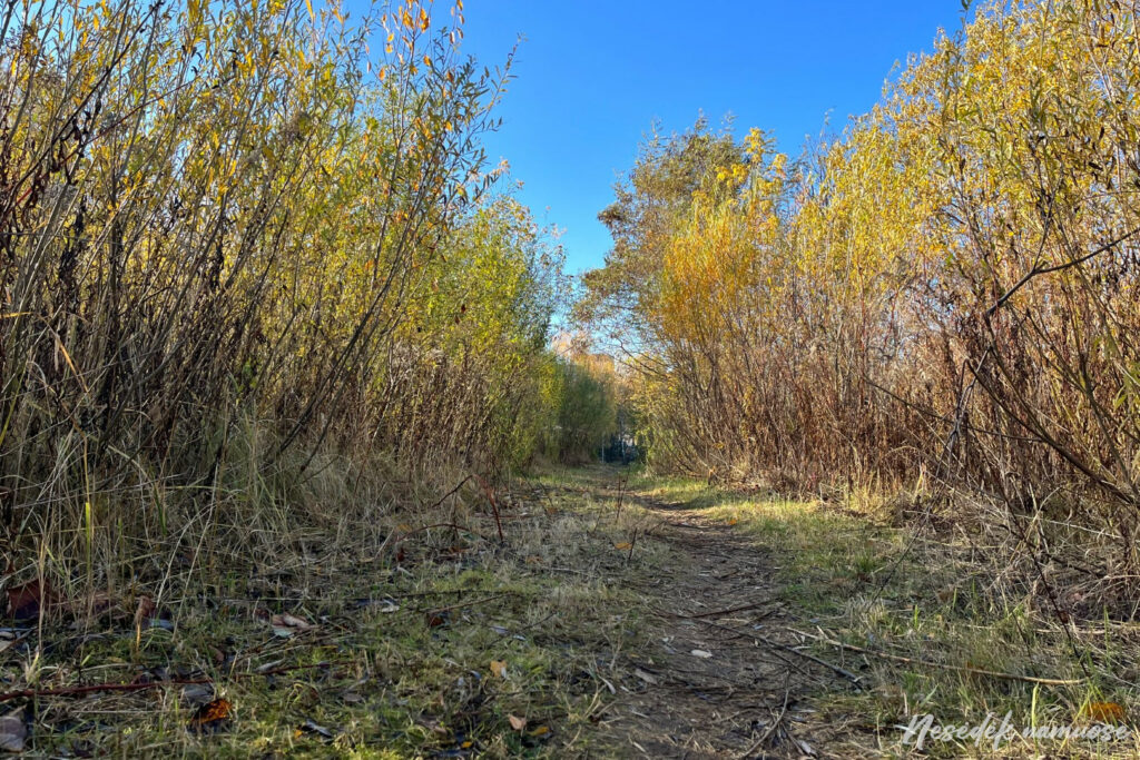
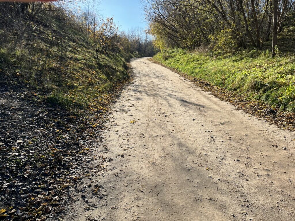
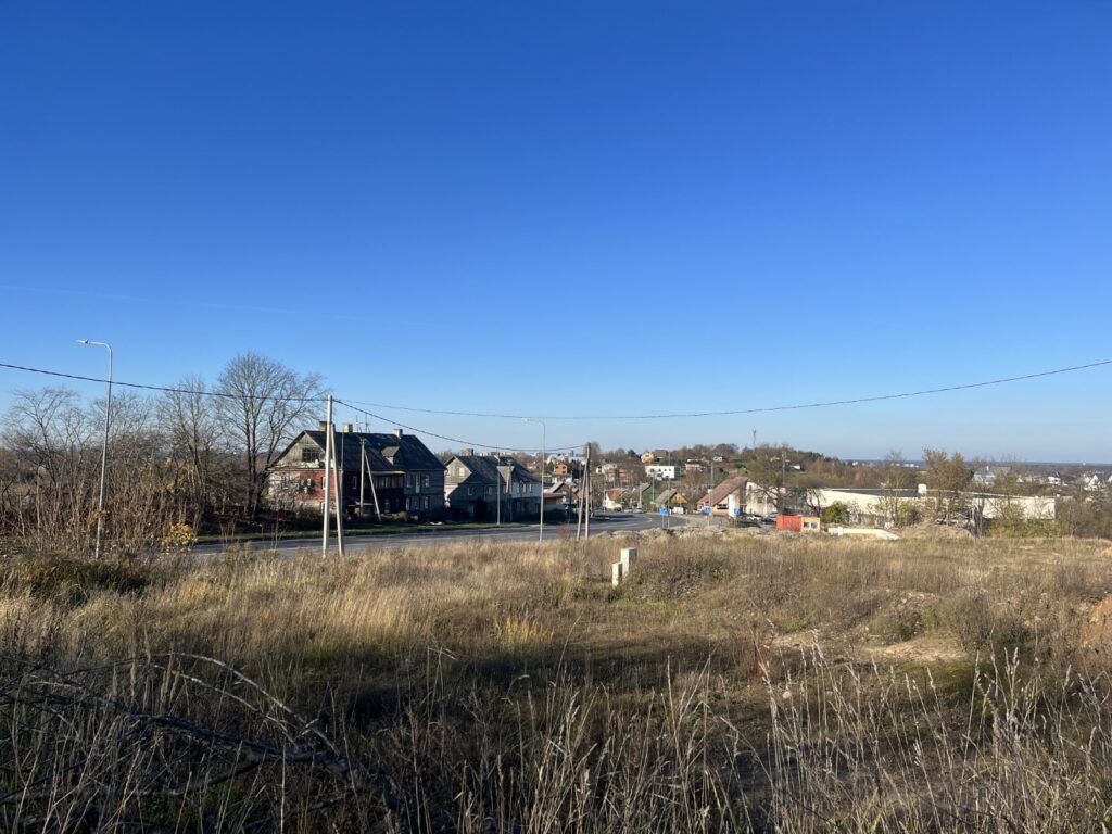
Photo: nesedeknamume.lt


Believing in stereotypes, Naujininki should be passed as soon as possible. It is an area that has long been labeled as an unsafe and dirty place, but as times change, so do Naujininkai. An old district, the appearance of which, like Pavilnios, was influenced by the built railway. In contrast to Pavilny, a settlement of railwaymen and factory workers was built here, initially called New World. If the route led directly through Naujininki, it would be an opportunity to make sure that it is a working-class district from the street names alone. However, it seems as if the past of this district is being avoided trail around Vilnius trying to get around it. The route leads past the courtyards of rural apartment buildings, where on one side you can observe the household of local residents, and on the other - the open spaces of Naujininkai.
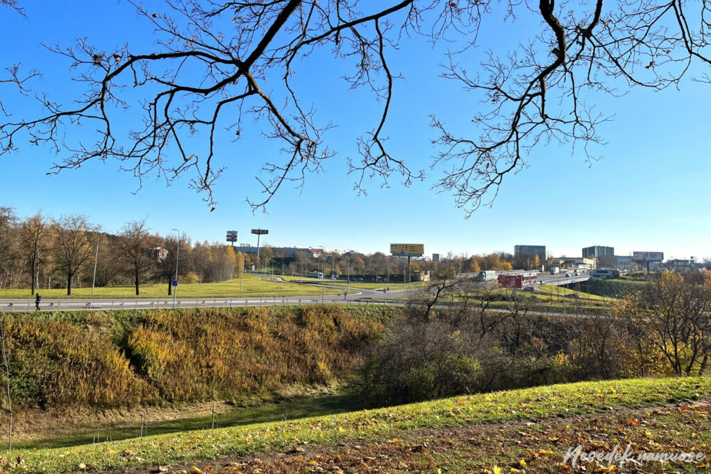
Photo: nesedeknamume.lt

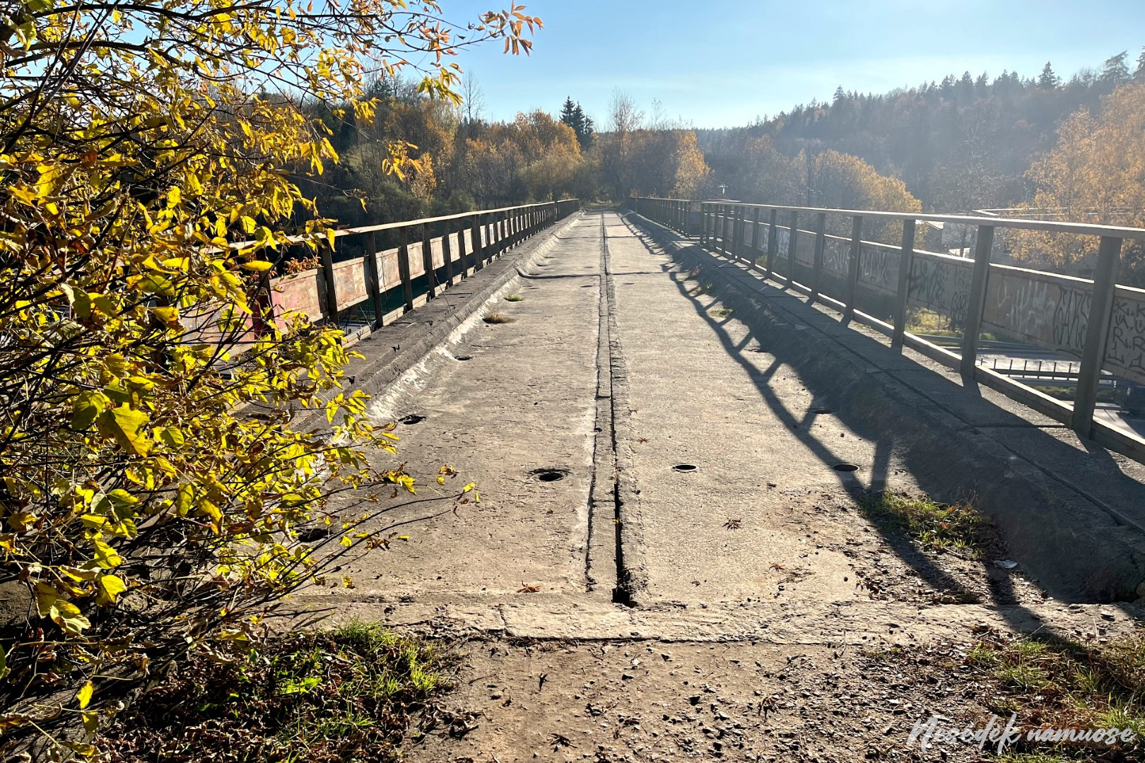
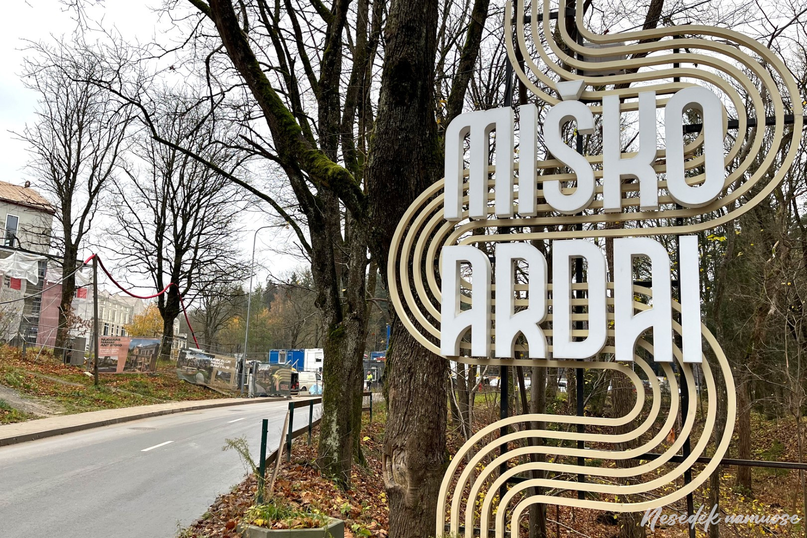
Trying to bypass Naujininkus, the trail around Vilnius descends all the way to Tukstantmečios street. The changes are encouraging, because unlike last year, it is now possible to walk safely along the established path. After reaching two bridges, the route turns on one of them to the other side of Tukstantmetis street, where Burbiškių forest trails await. During the interwar period, during the Polish occupation, defensive fortifications of various purposes were installed throughout the city, and military infrastructure was built. This area is no exception. Almost all Vilnius residents who bought an apartment in the Miško ardu quarter know that there used to be ammunition warehouses for the Polish army here. They were connected to other military objects by a narrow-gauge railway, and its tracks passed over the same bridge that now runs along the path around Vilnius.
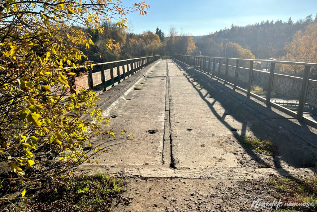
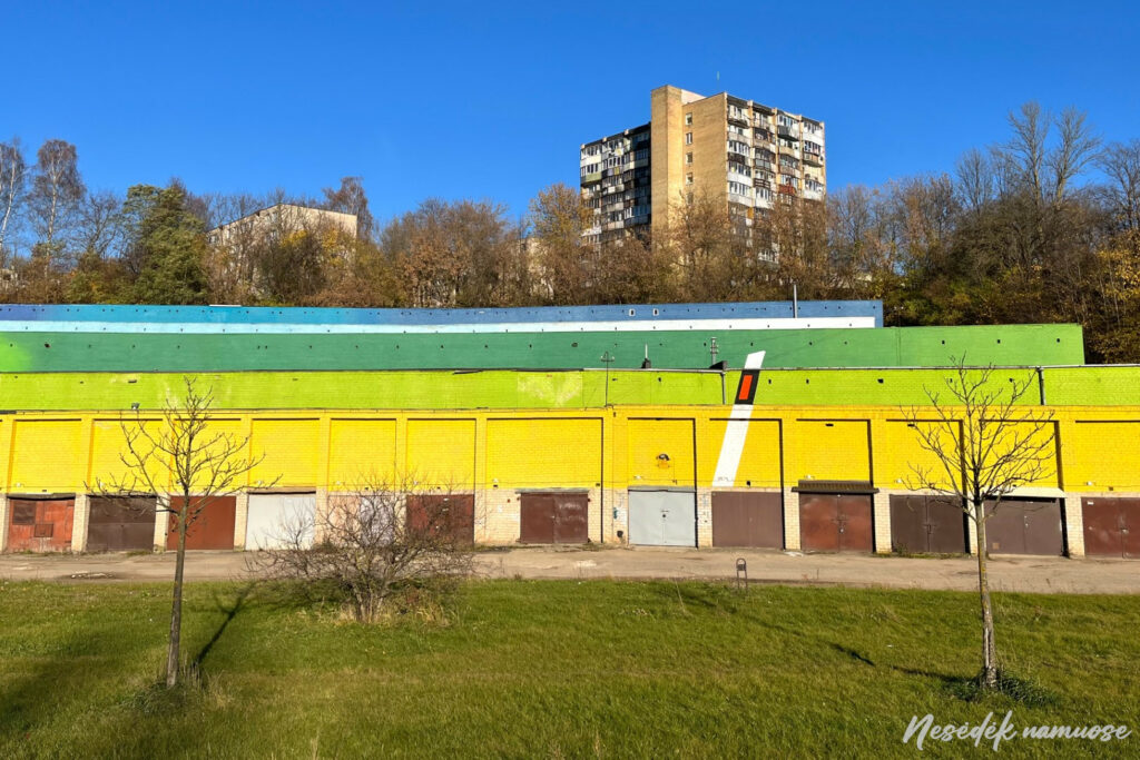
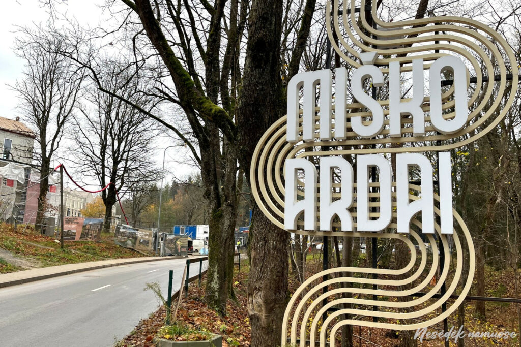
Photo: nesedeknamume.lt

The third section of the trail runs more or less parallel to the railway, the appearance of which influenced the appearance of both Pavilnis and Naujininkai. As if by happy coincidence, a branch of the former narrow-gauge railway also contributes at the end, and the train heading towards the airport finally secures the path around the connection between Vilnius and the railway.
After reaching the forest, I turn back. Until the next one public transport stops at least a kilometer. Until now, I was convinced that the starting and ending points of the sections were chosen in such a way that they could be easily reached by public transport, but the end of this section does not lend itself to such logic. One more has to be added to the 12 kilometers traveled today. Good training before the next stage, which is marked as the most difficult. However, if you arrive tomorrow by public transport, the same extra kilometer will await you again - a warm-up before the most difficult section.
