After a break of more than a year, I climbed Table Mountain in Vilnius again. The place is the same and the goal is the same - to go around the city on the path around Vilnius, which, according to the official website of the path https://vilnius100km.lt, this is where it starts. I didn't find the slightest hint about its beginning a year ago, and I still can't find it now. And it could be. For some, it would be an object that provides clarity, for others, it would be a commitment to a challenge or its overcoming by taking a selfie, which, if uploaded to social networks, would give the trail even more exposure. The trail around Vilnius is designated as a suitable place for running, walking and exploring, so last year I covered the entire route in sports mode, this time I will pay more attention to exploring. I will be my own guide, just like anyone else determined to tackle this course.
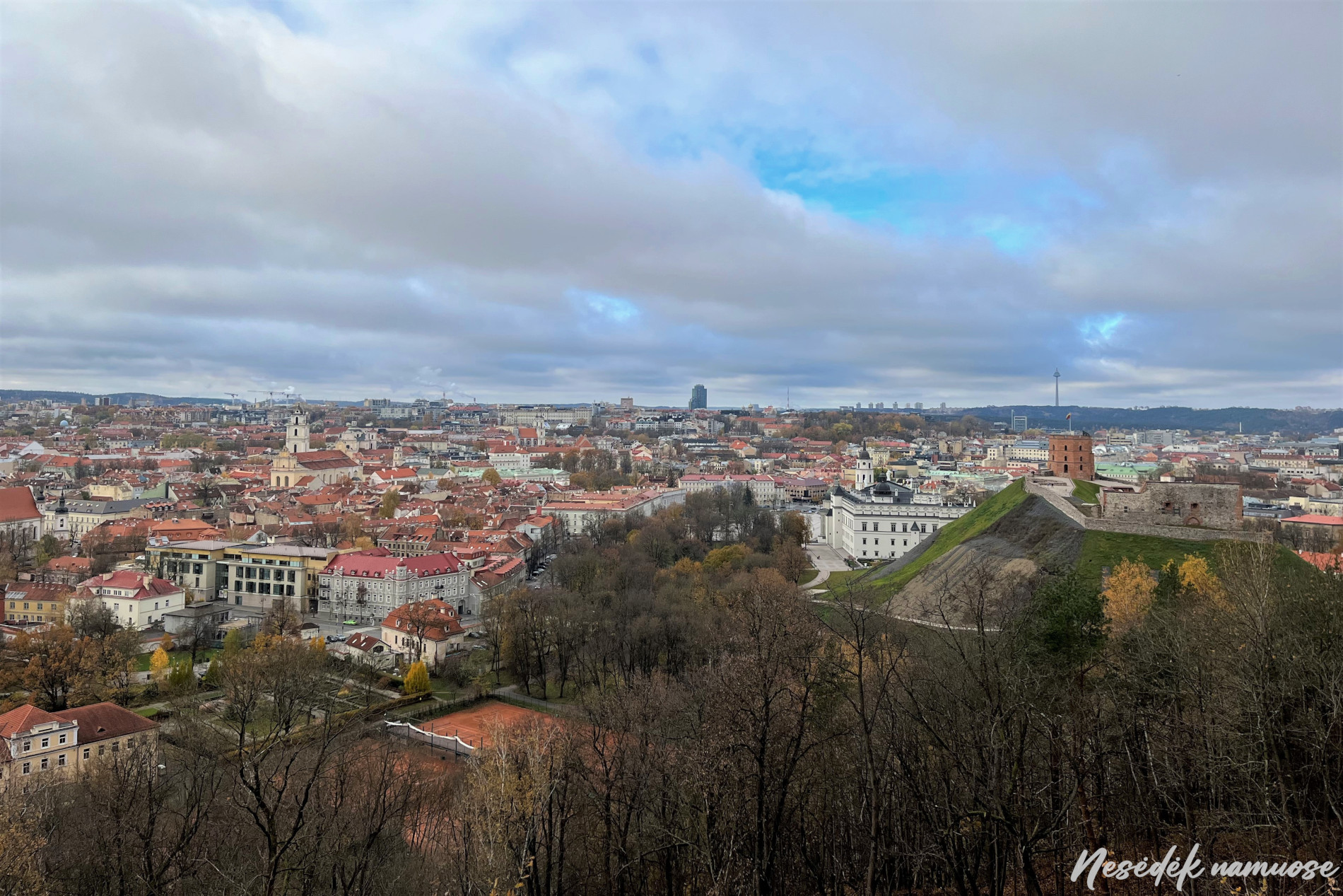
Last year's experience was that trying to walk the trail counter-clockwise was tiring and didn't last long. This time, without hesitation, I follow the path clockwise and climb to the Three Crosses before going down the stairs. A great view of the city, which you will have to go around, and also the first observation deck. There will be more on their trail and these are the places that inspire you not to stop and continue your journey along the 100 kilometer trail. In the distance you can see a TV tower supporting the sky, it will be about halfway there. More than 20 hours of hiking ahead.

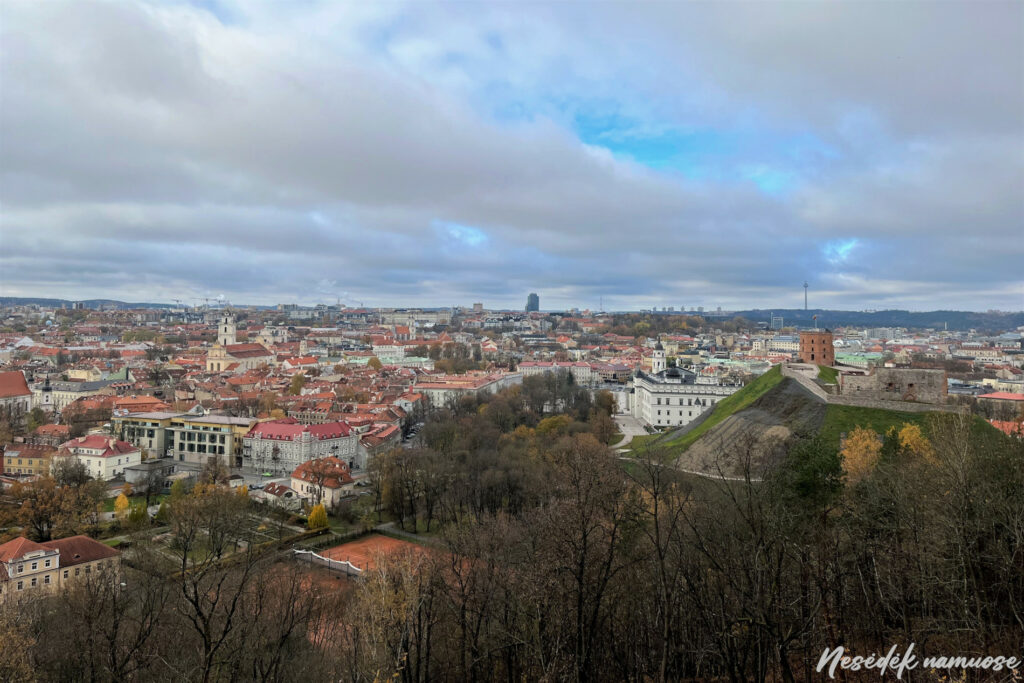
Photo: nesedeknamume.lt 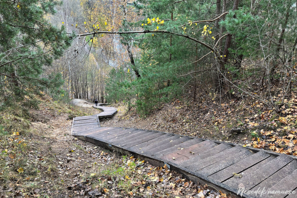
Photo: nesedeknamume.lt
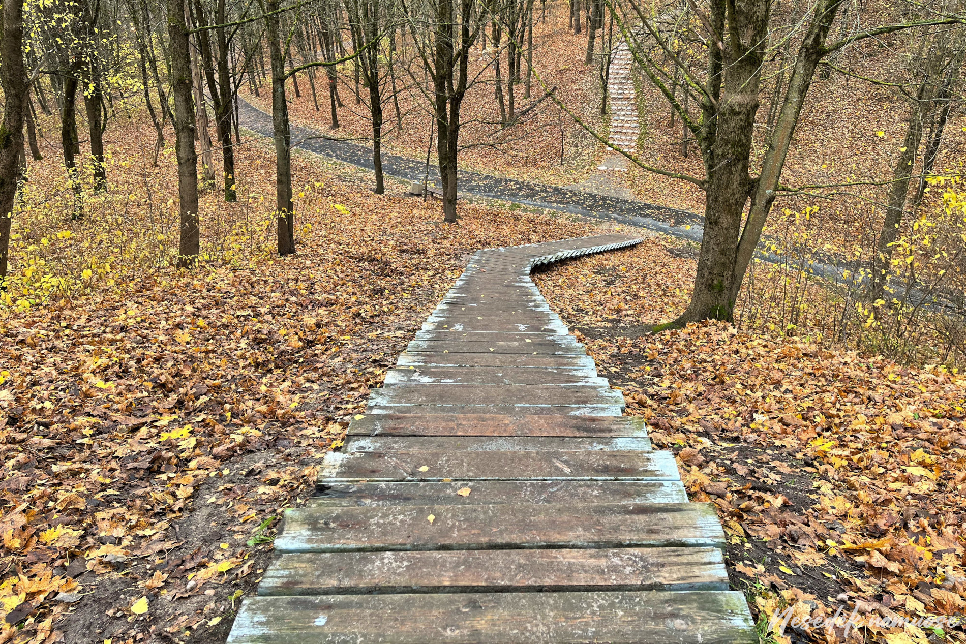

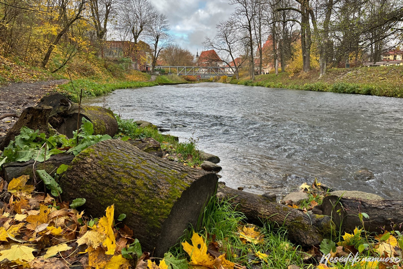
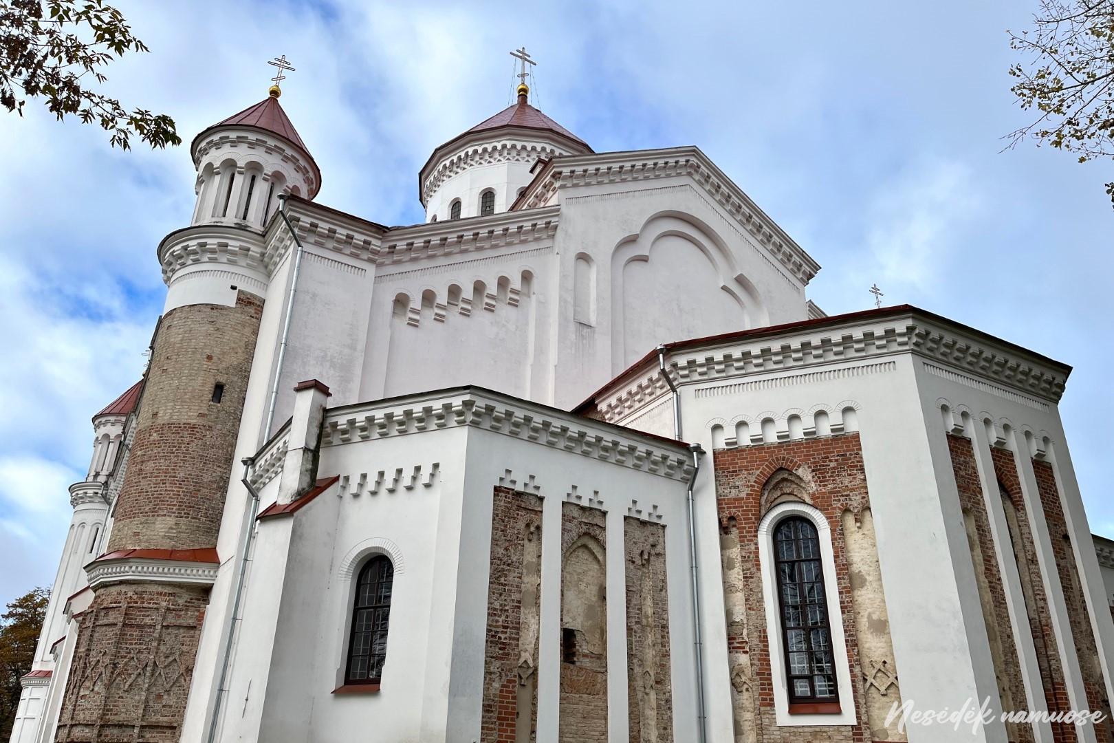
A path down steep stairs leads to the river. In the first section, the trail will be friends with Vilnele for a long time. After walking along one bank, the route goes to the other side of Vilnelė and leads to Mickevičius Square with the eye-catching St. Anne and Bernardine churches. In this place, acquaintance begins not only with the architecture of Vilnius, but also with street art. On the other side of the river, a neo-fresco by P. Kupčinskas, depicting the monk Bernardinas Sienietis, is displayed on the wall of the building that formerly belonged to the Bernardine Monastery.

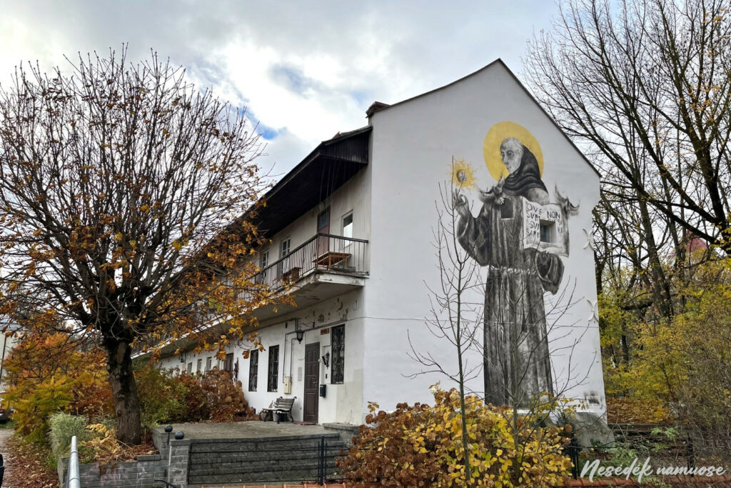
Photo: nesedeknamume.lt 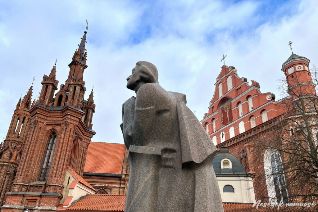
Photo: nesedeknamume.lt


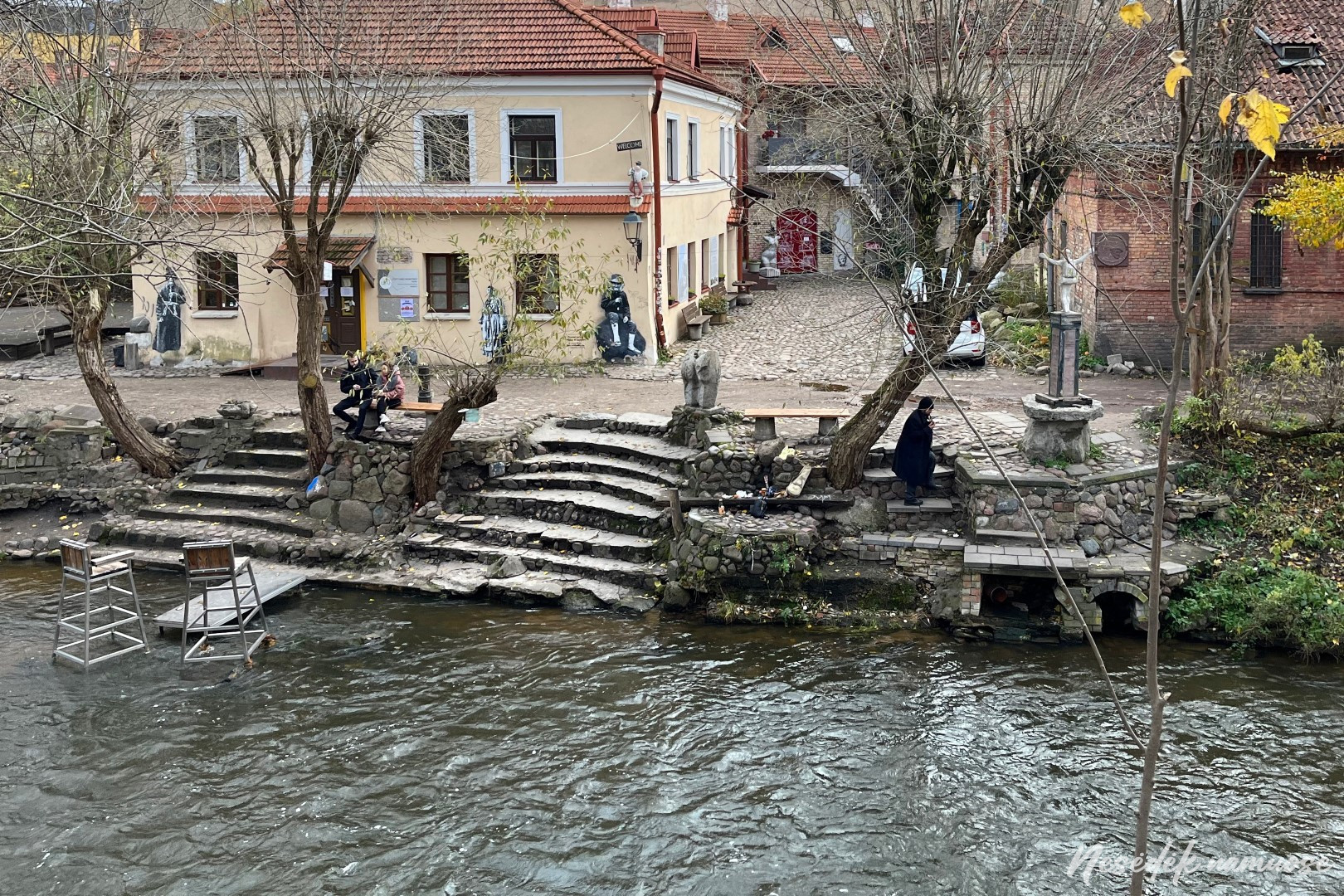
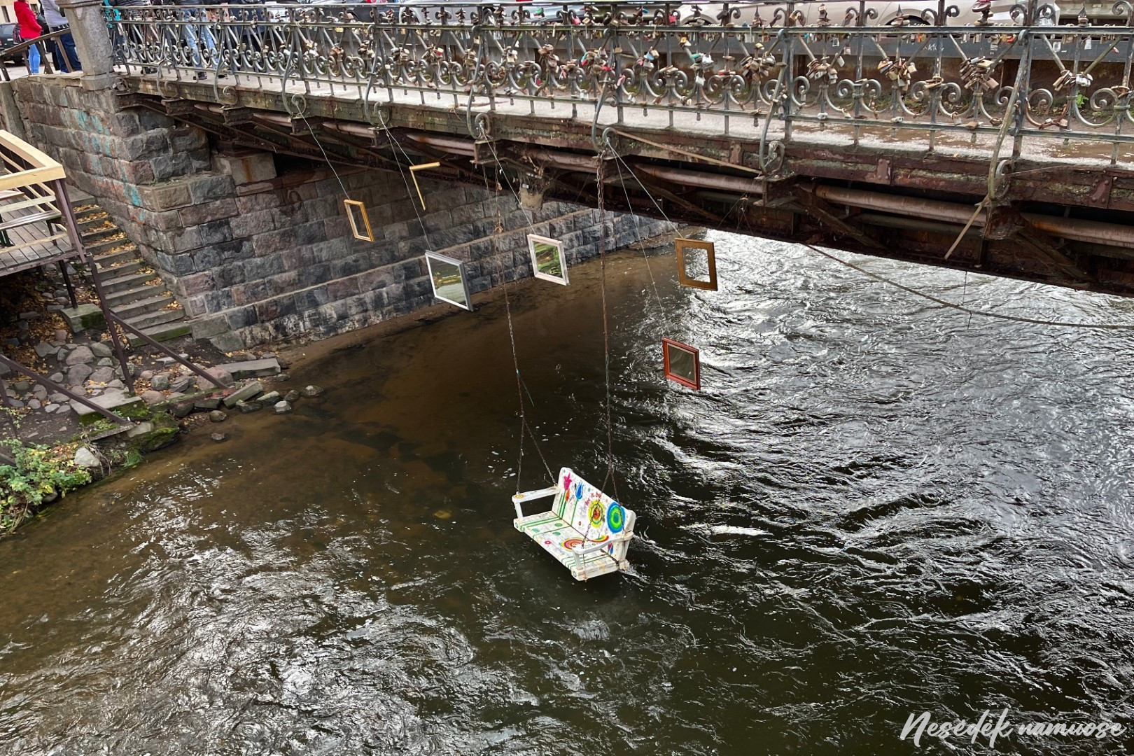
You can see more art installations at Užupiu. In Vilnelė, in front of the Užupis Art Incubators river, two chairs cross the stream, and under the Užupis Bridge, the wind moves an empty swing. Although the weather is beautiful in autumn, the water is already cold, and you won't be able to reach the chairs or swings without wading in. Here, what you notice and what you pay attention to depends on each observation. The path around Vilnius does not give you the luxury of spending a lot of time on a beautiful place or an interesting object, but the limitations make you look at the everyday city differently.
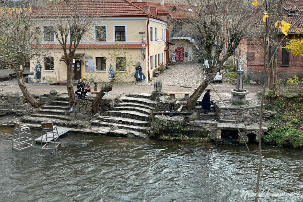

Photo: nesedeknamume.lt 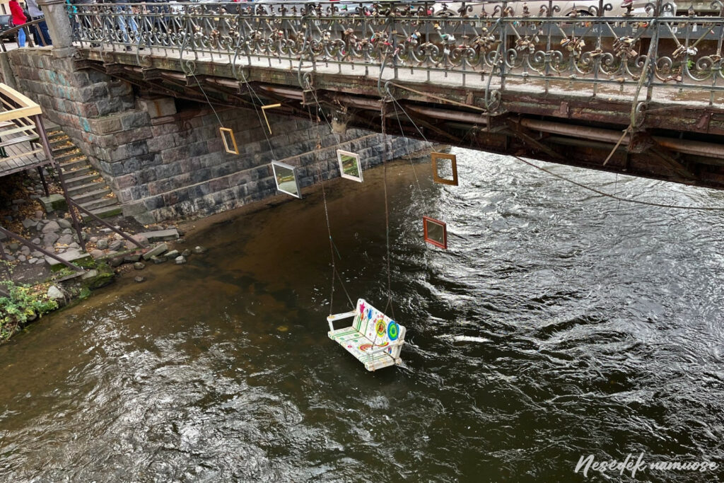
Photo: nesedeknamume.lt
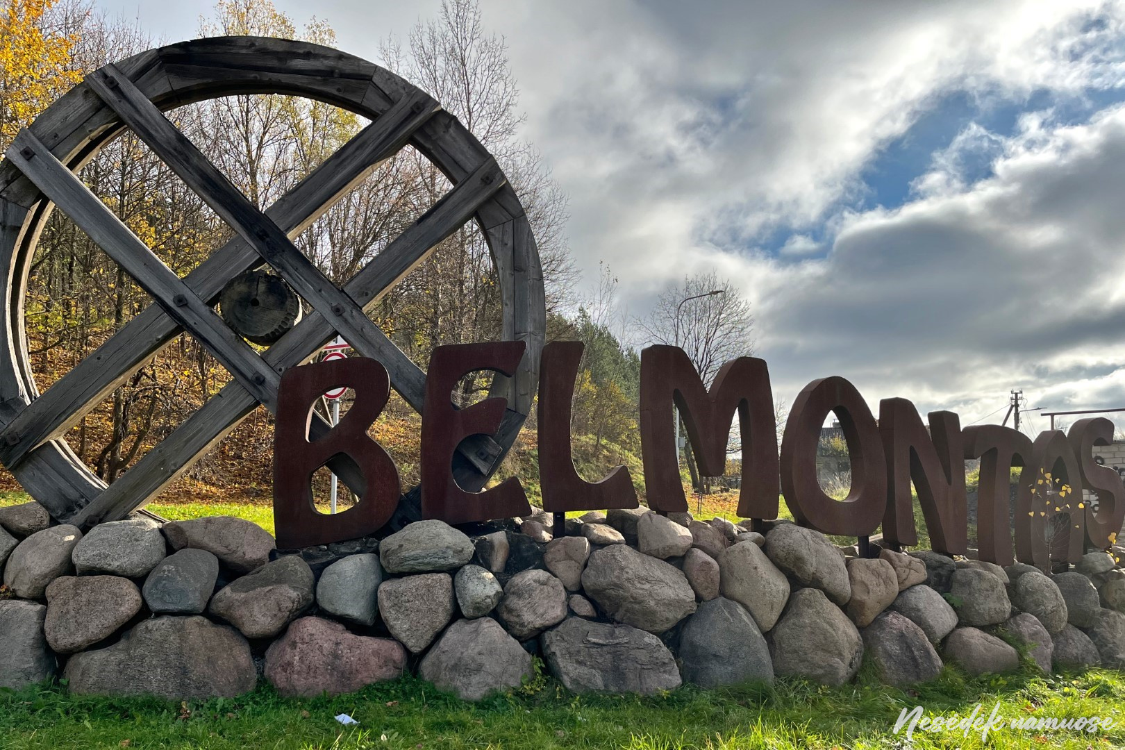
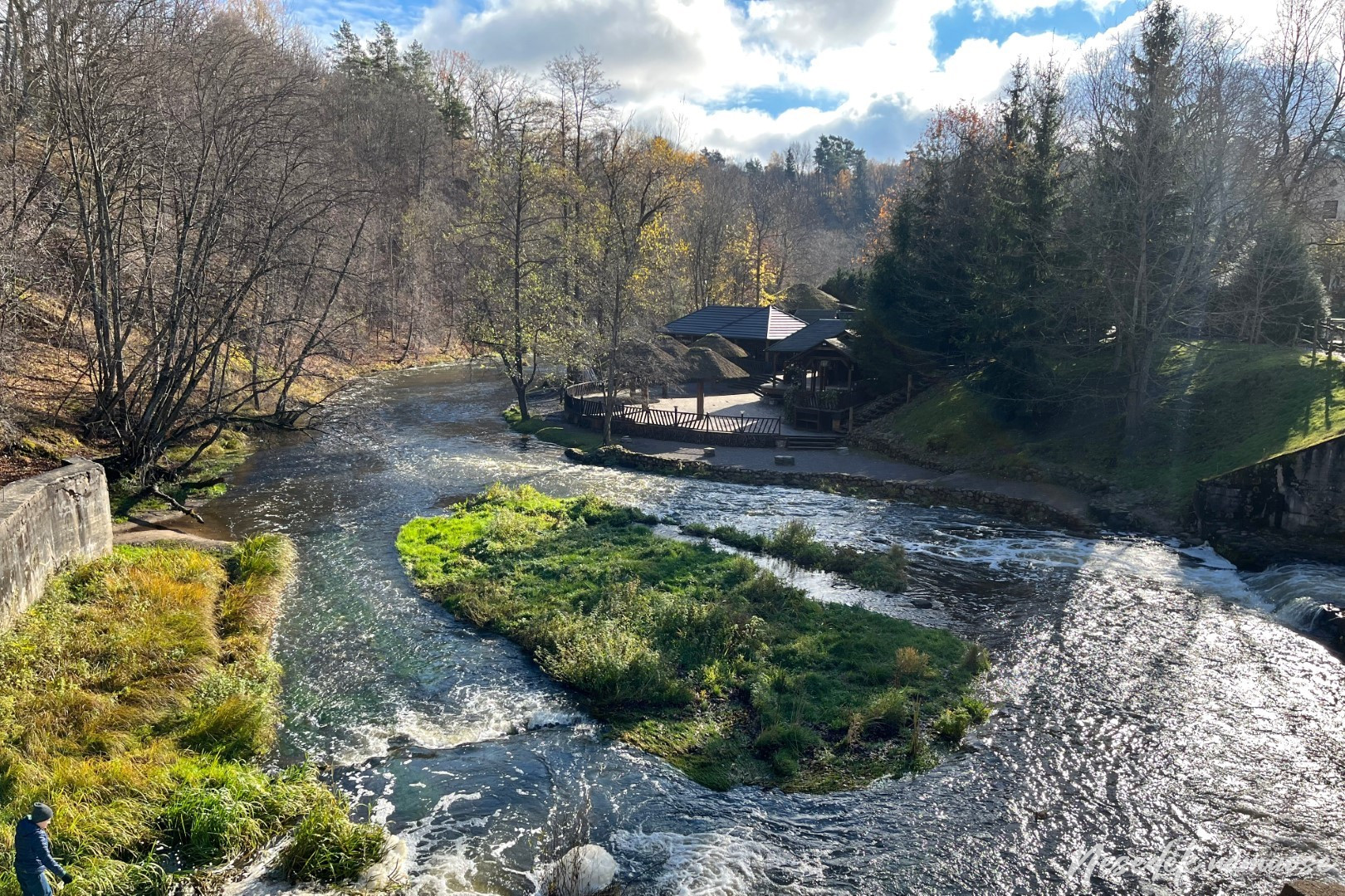
Counting the bridges leading to Užupis, the path around Vilnius approaches Paupios, which has become a desirable place for many to live, but difficult to afford. Lined with apartment buildings of modern architecture on one side, the path echoes the curves of Vilnelė and reaches the Zarasai Bridge. Pavilniai Regional Park estates begin behind it and after allowing you to enjoy the sidewalks and footpaths, the route dives into the forest. The central part of Vilnius is left behind, and acquaintance with the periphery of the capital begins. Winding through wooded hills and valleys, the path bounded by Stephen Bator and Belmont Streets leads to Belmont.
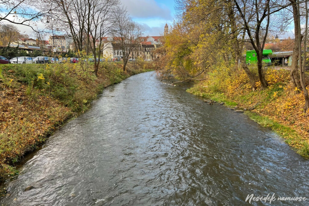
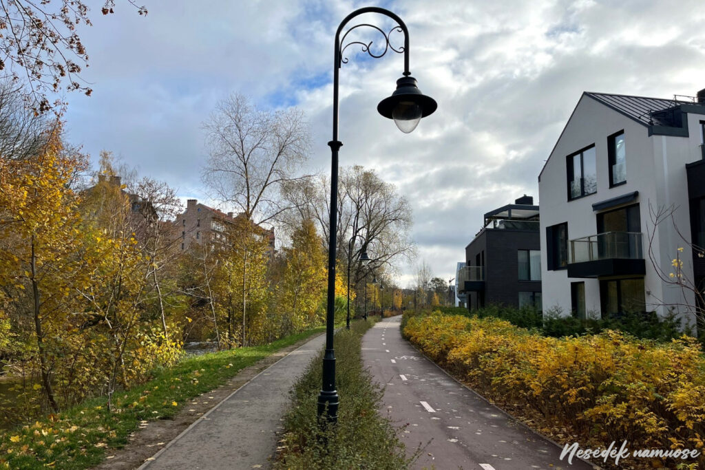
Photo: nesedeknamume.lt 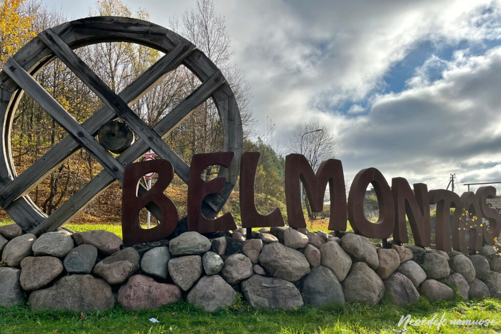
Photo: nesedeknamume.lt


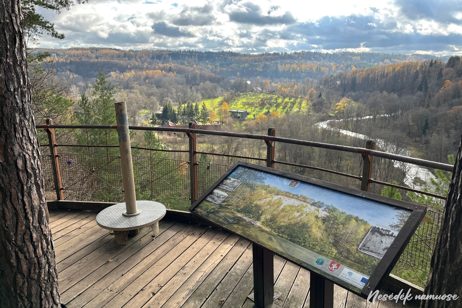
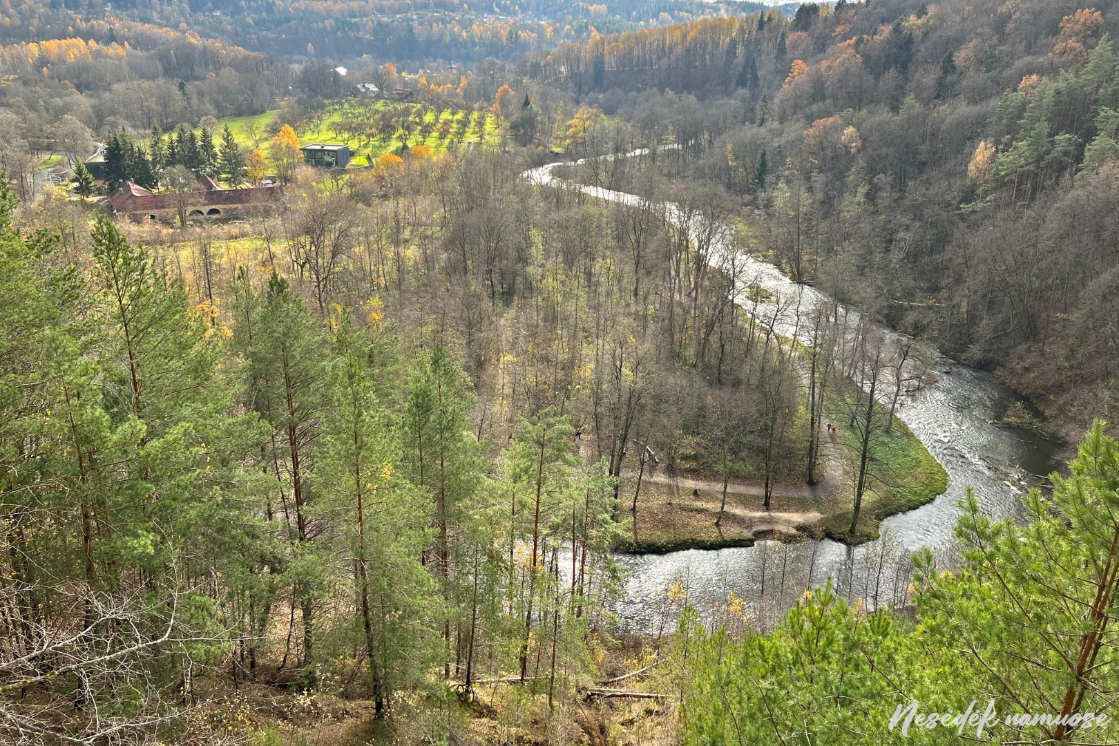
The restaurant and entertainment area remains out of the way, as the route immediately leads across the bridge to the other side of Vilnelė. Further along the river bank, the path coincides with the route of the Pūčkiori educational trail, and the information stands installed here can hold up more curious travelers for a while. The view from below of the Pūčkiori outcrop and the surviving buildings of the cannon foundry makes one pause for a moment.
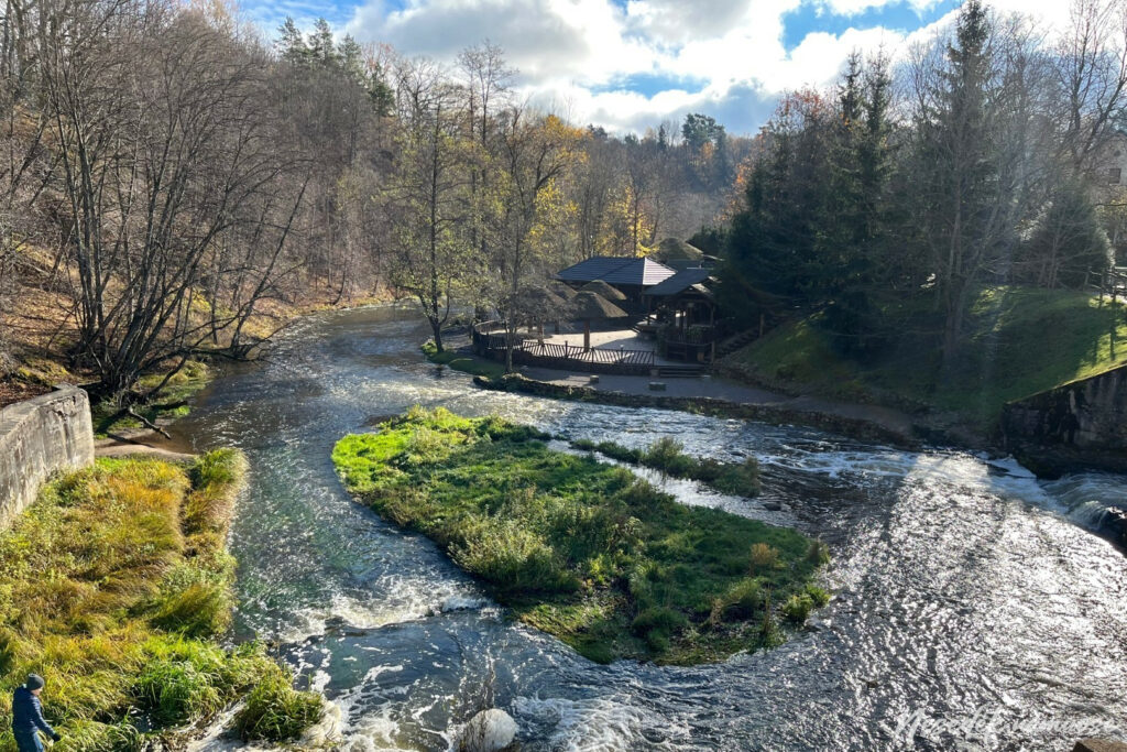
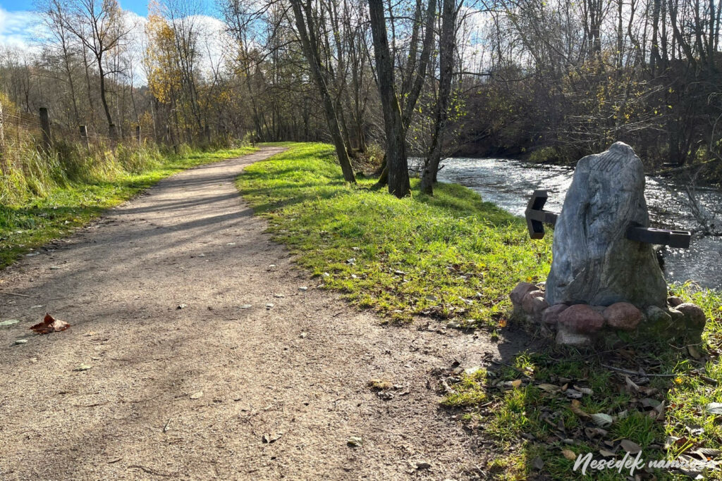
Photo: nesedeknamume.lt 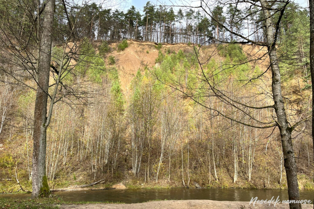
Photo: nesedeknamume.lt


There is not much left until the end of the first section of the trail, but to reach it you will have to climb to the top of the highest outcrop in Lithuania, Pūčkiori. Right near the top trail around Vilnius leads past the surviving defensive fortifications installed by the Poles between the wars, and after climbing a little further, one of the most beautiful panoramas of the Vilnius area opens up. The first section of the trail around Vilnius begins and ends at the observation deck. Its length is 10 kilometers and it is perhaps the most picturesque of the 100 kilometer route. The route is not difficult, although you will have to overcome several ups and downs. You will have to climb to the top of the Pūčkiori exposure for the longest time at the end of the section. The markings are clear, so you can safely hike without the help of GPS.
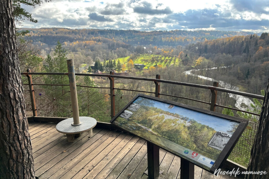
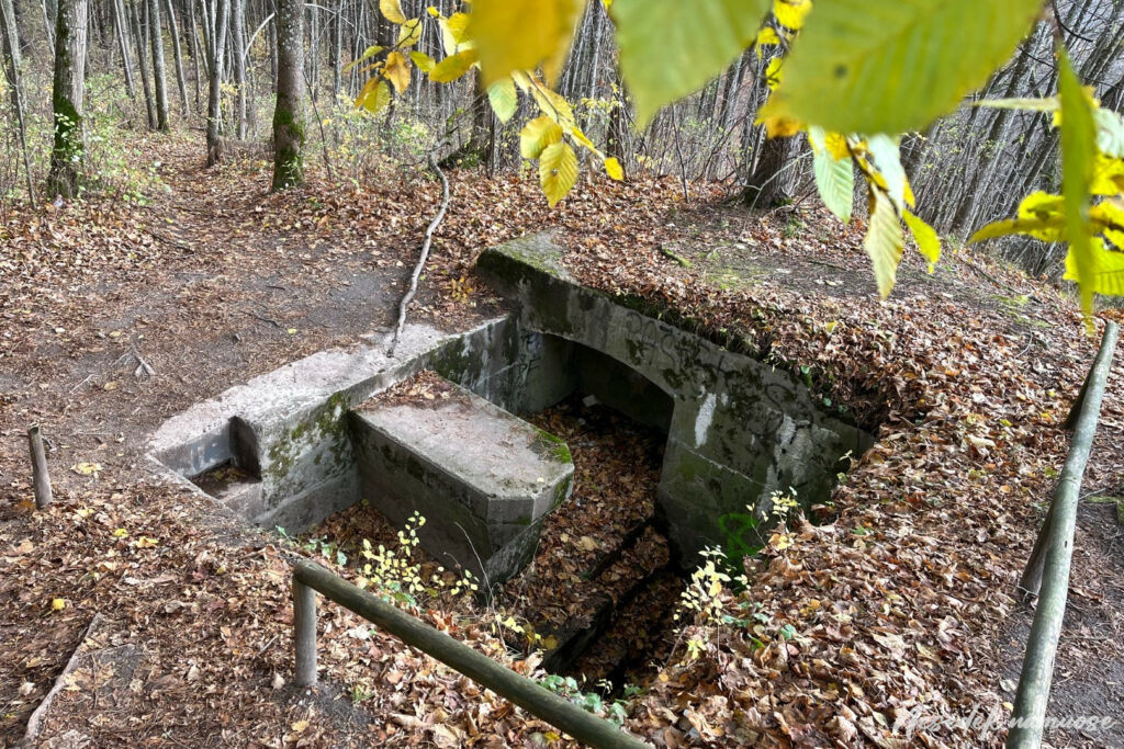
Photo: nesedeknamume.lt 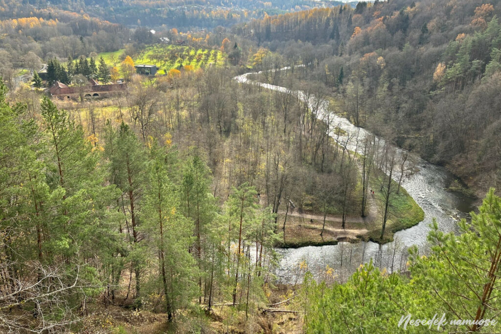
Photo: nesedeknamume.lt