
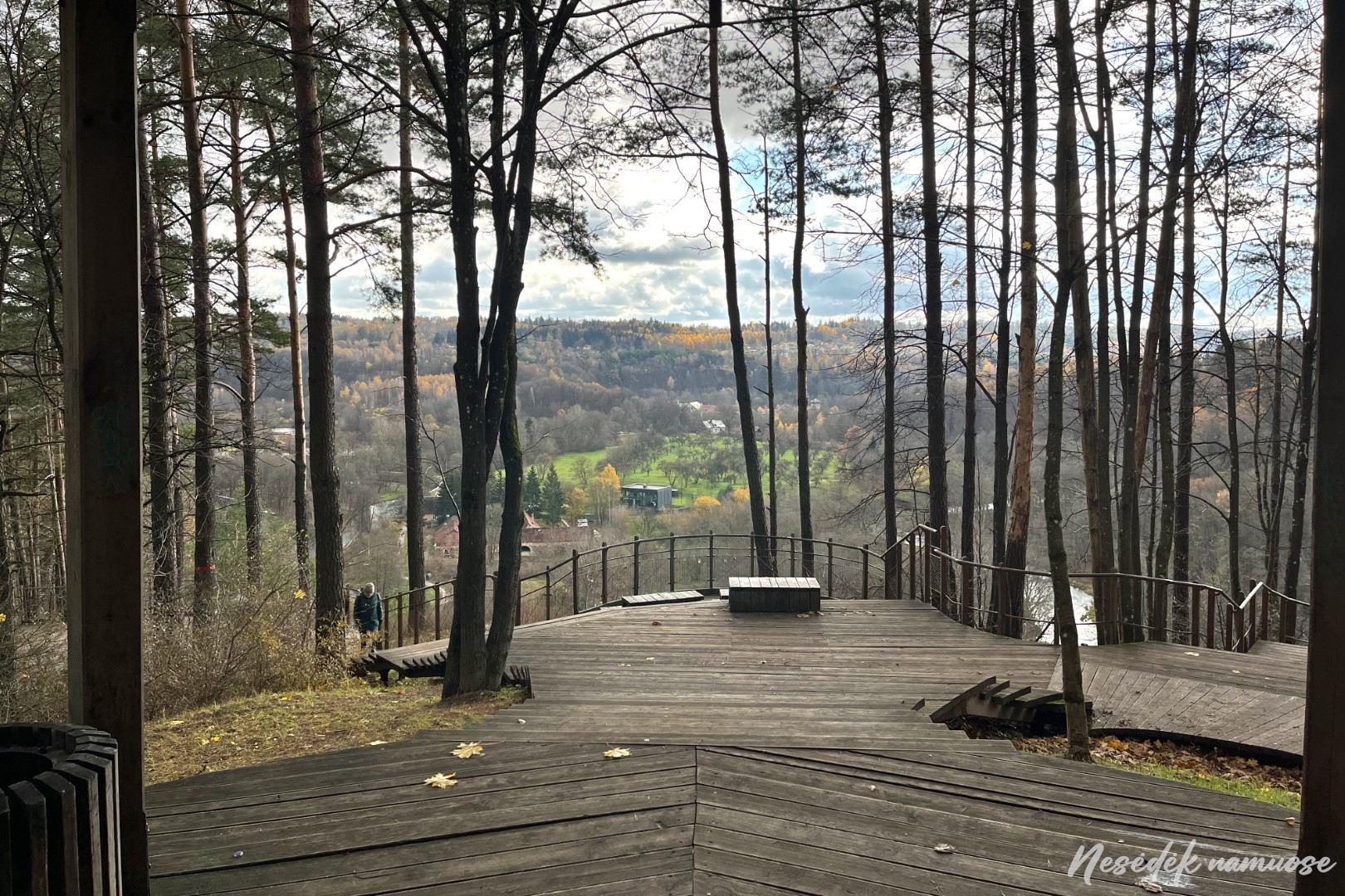
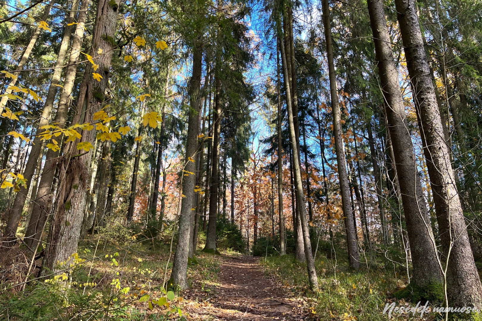
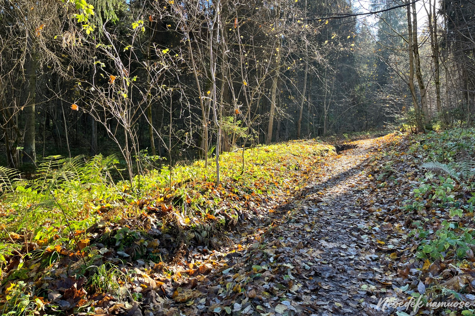
The gazebo at the top of the Pūčkiori exposure is rarely empty, but this time it was lucky. I settled down comfortably and took out my snacks and watched the autumn panorama of the Vilnius Valley. A real golden autumn. Hiking in this weather is a pleasure - it is not hot, neither mosquitoes nor birds attack, and the leaves that have fallen to the ground have not lost their colors yet. You go and kick leaves under your feet, just like when you were a child. The smell is also autumnal.
The most urban section of the trail is over, more nature will follow. Although between the route chosen by running enthusiasts does not lack ups and downs, walking in green spaces is still more fun than on sidewalks. Having followed the route of the Pūčkiori educational trail all the way to the top of the outcrop, trail around Vilnius says goodbye to him and turns towards Rokantiškii.

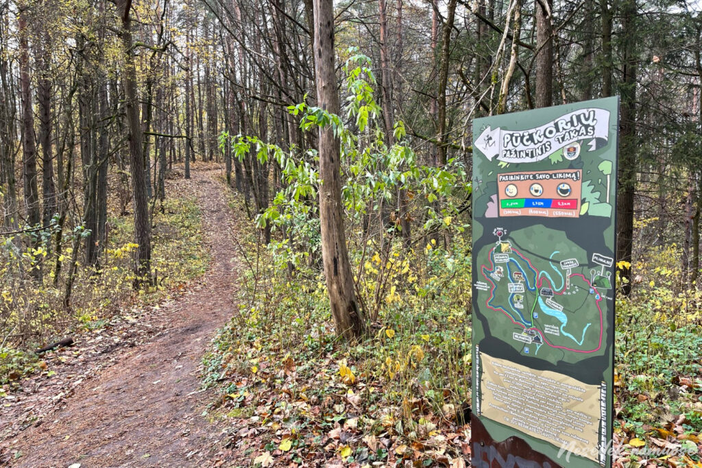
Photo: nesedeknamume.lt 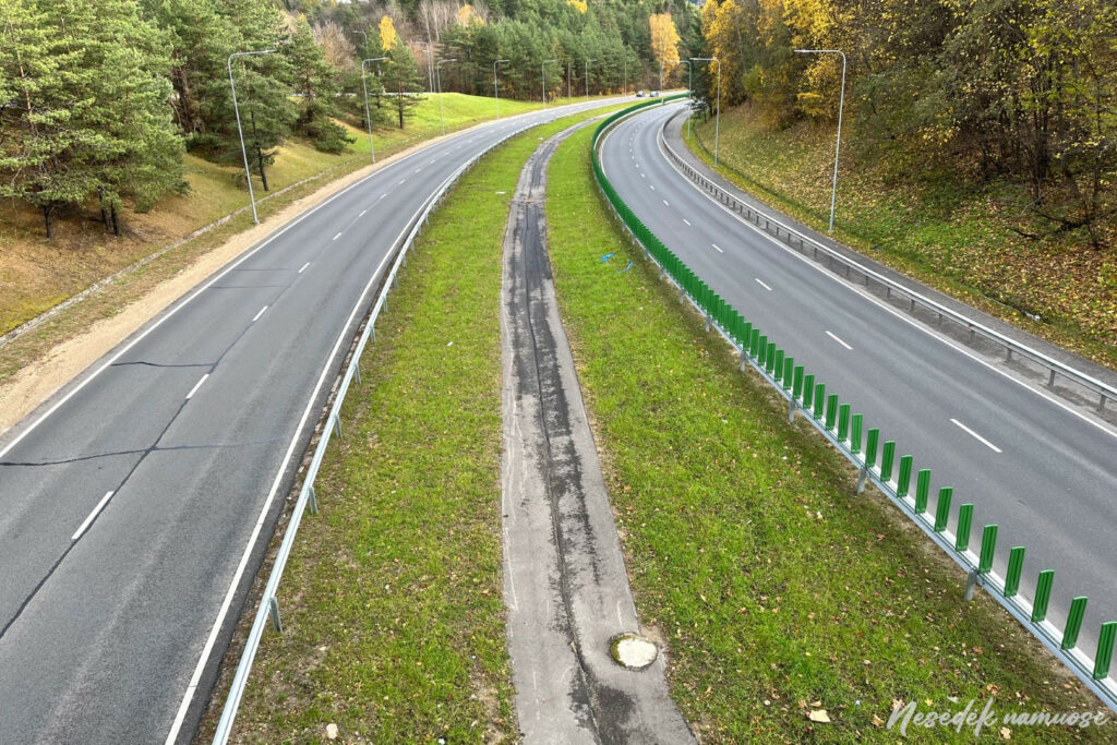
Photo: nesedeknamume.lt

The first section of the trail was really well marked, so there wasn't a single spot where I had the slightest doubt. After walking through the forests of Rokantiškii, I felt that such assurance had disappeared. In some places, the markings are not visible for several hundred meters and this is starting to raise doubts. Maybe it's a consequence of that first time, when I walked around Vilnius by a good 5 kilometers because of gaps in the markings. The organizers of the trail really made an effort and the arrows on the wooden stakes are very helpful for orientation. However, in a couple of places you have to participate in the lottery when choosing where to turn, but this time I am helped by memory. And that the labeling is not/wasn't ideal, you can understand from the self-made links.
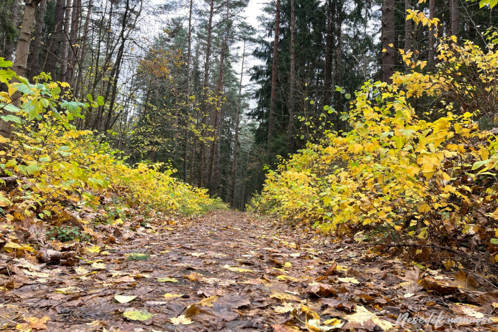
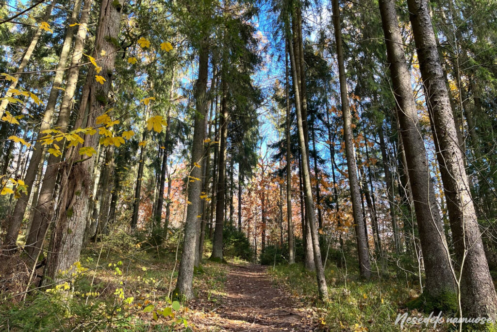
Photo: nesedeknamume.lt 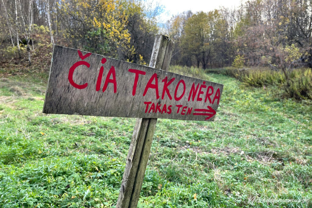
Photo: nesedeknamume.lt

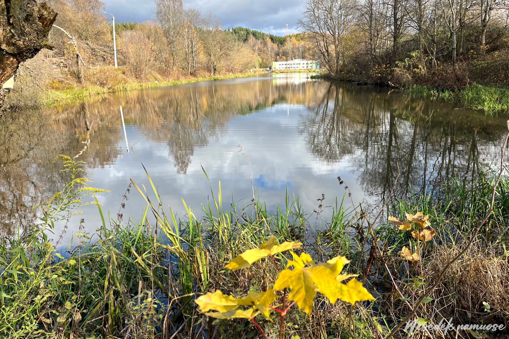
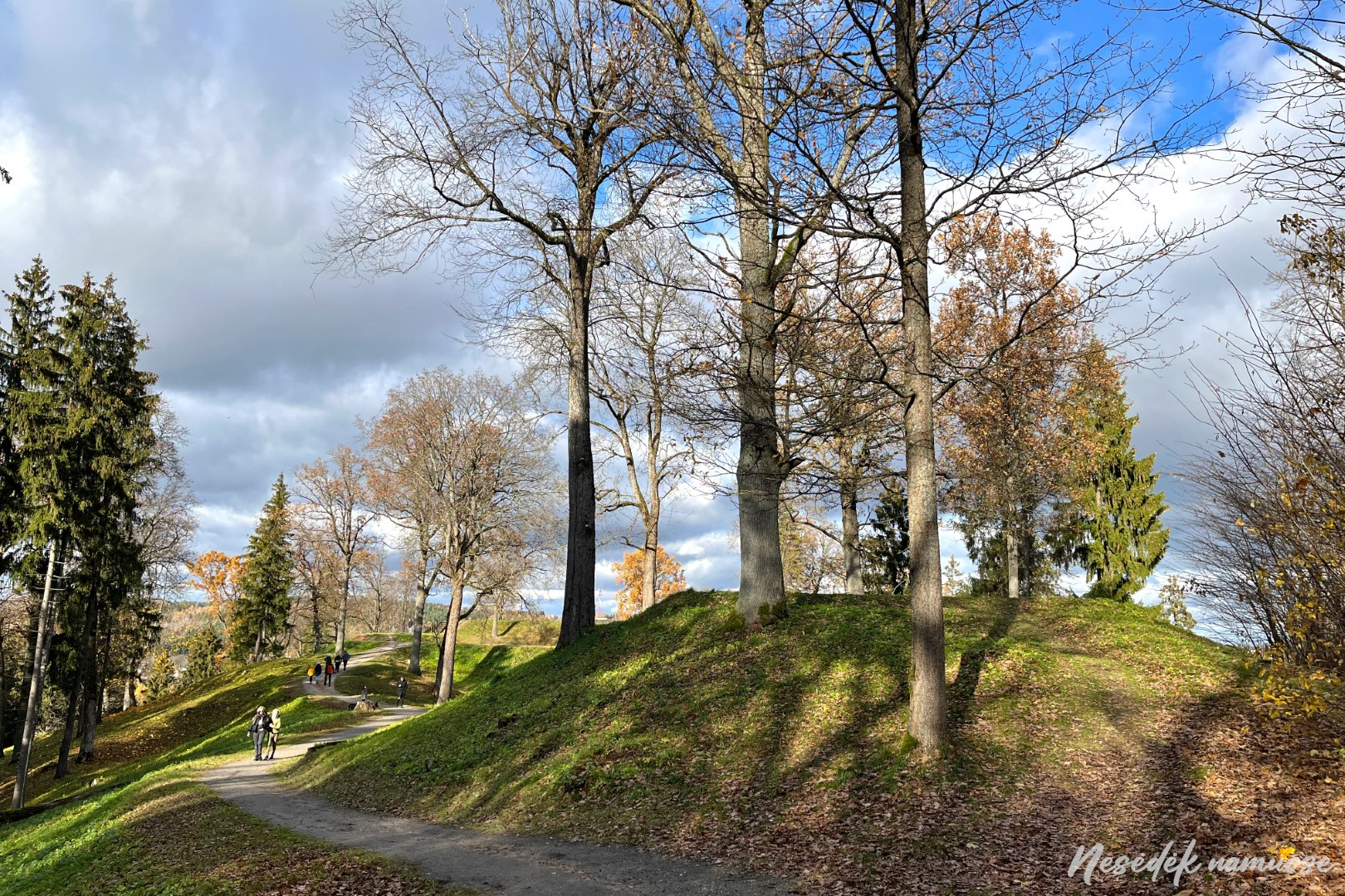
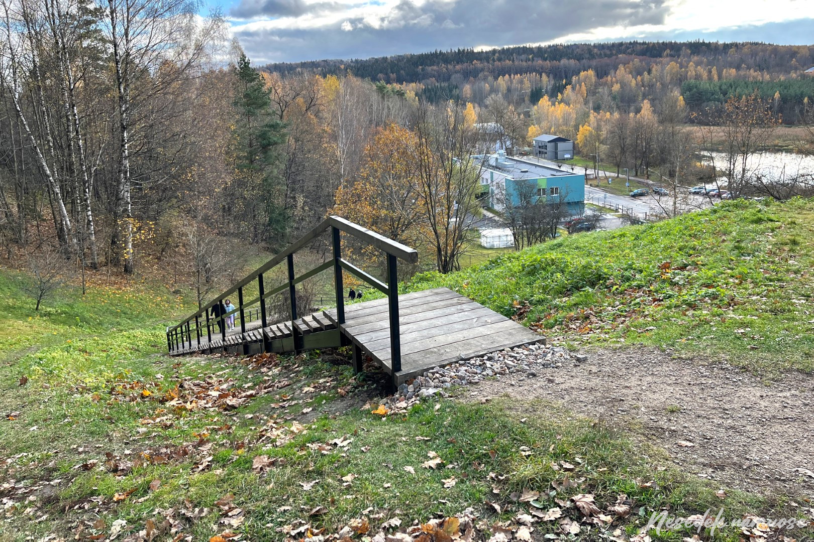
A few kilometers of forest paths and the burial mound of New Vilnius with stones scattered in the meadow opens before your eyes. These are stones with marks - copies, because the originals were left lying in their places. There is another observation point waiting here, from which you can see dammed Vilnius. This is the Rokantiškii pond, which was formed in the XNUMXth century. organizing water supply to the Kuchkuriski paper factory. Its remains can still be seen, as the route descends from the mountain and passes through the hydroelectric power plant installed in the dam, and runs right along the buildings of the former factory. After crossing the busy S. Batora street, the path around Vilnius stretches along it. A year ago it was very unpleasant to go here. Cars whistling past made me feel very unsafe, so I was happy to see the newly installed road barriers. They accompany you all the way to the Rokantiškii castle, where the path leads to its top. It is worth deviating a little from the route and looking around, because the view from the top is really beautiful panorama. It looks very good New Vilnius, which the trail seems to cut off from Vilnius.


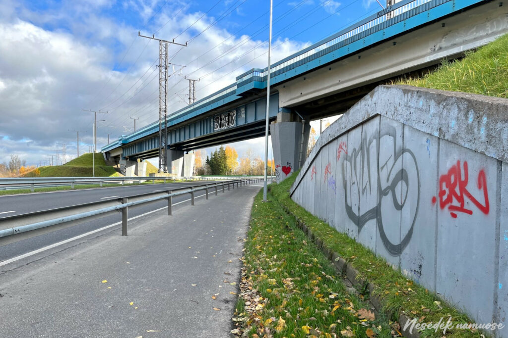

Photo: nesedeknamume.lt 
Photo: nesedeknamume.lt 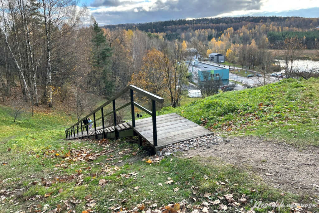
Photo: nesedeknamume.lt
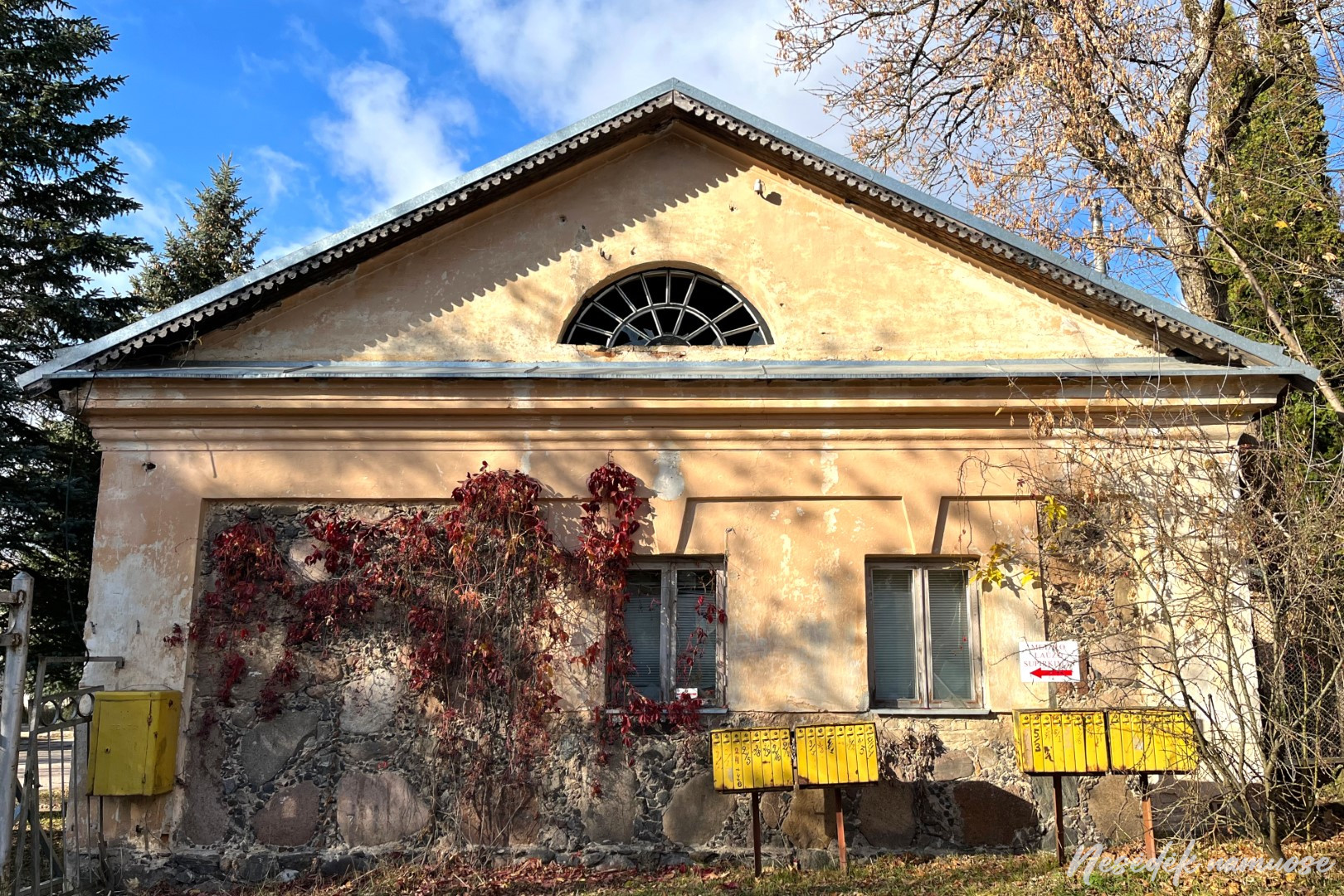

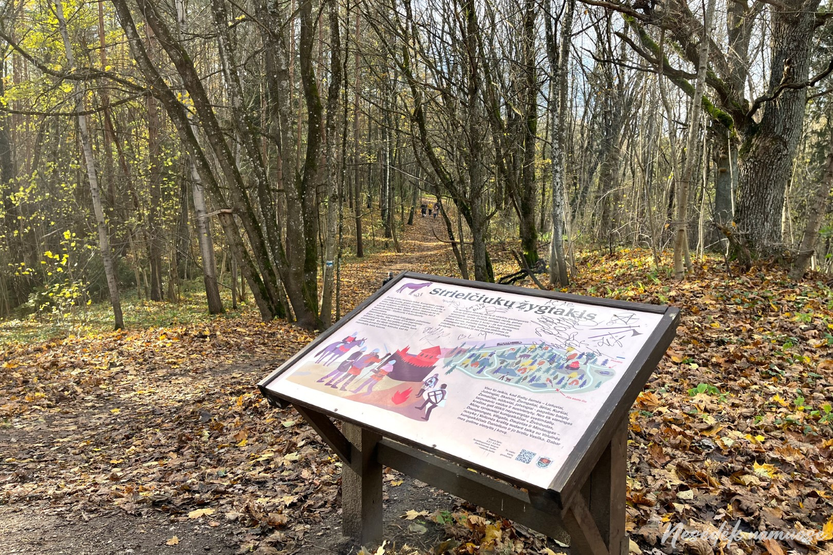
Next, the friendship with the strielchuks begins. The answer to what this word means can be found at the information stands, as the route now goes hand-in-hand with the Strielčiukai trail route. After a little more than a kilometer, the routes diverge, Streelčiukka žytakis turns towards the Rokantiškii castle, and the path around Vilnius leads in the direction of Pavilnis. A potholed and wet road running parallel to the railway leads to the Lower Street, which soon leads to Pavilni. Here, the route wanders between Low and High Pavilnis, going uphill, then going down again, showing a hidden lookout point and preserved pearls of wooden architecture along the way.
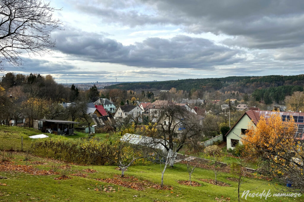
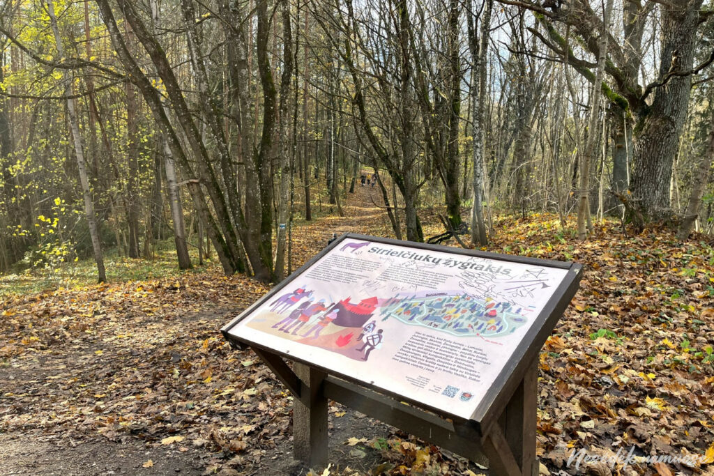
Photo: nesedeknamume.lt
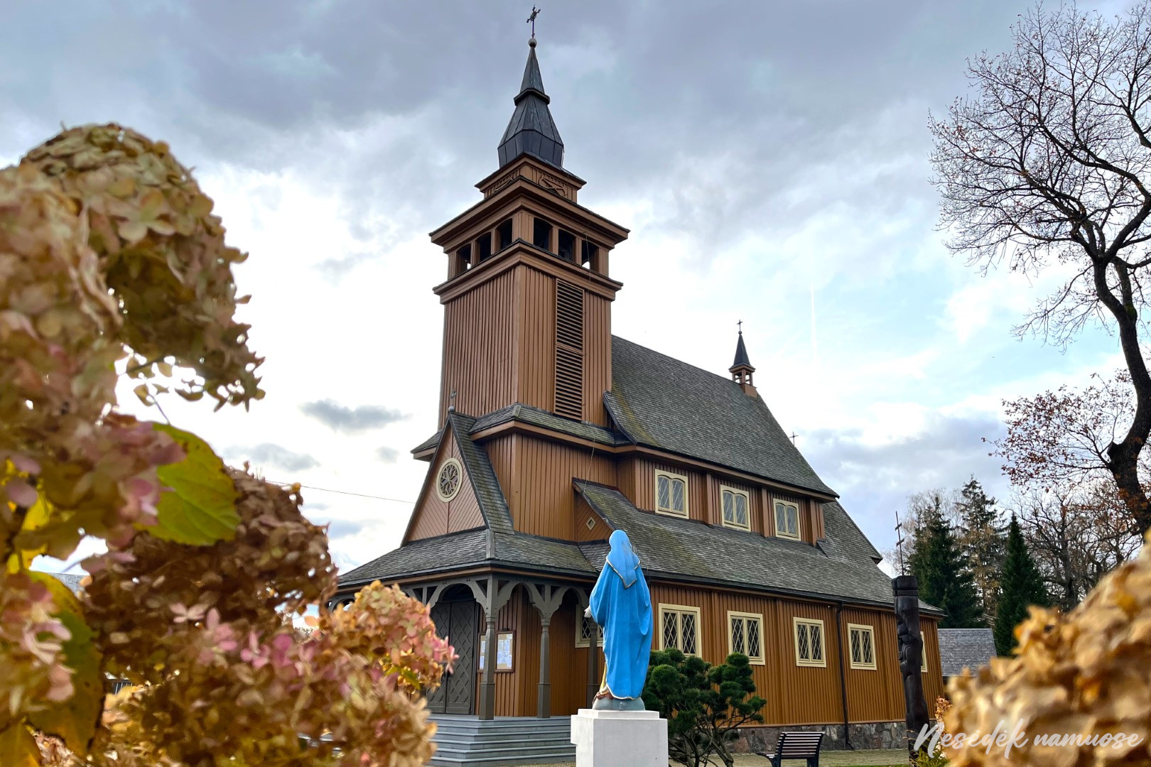
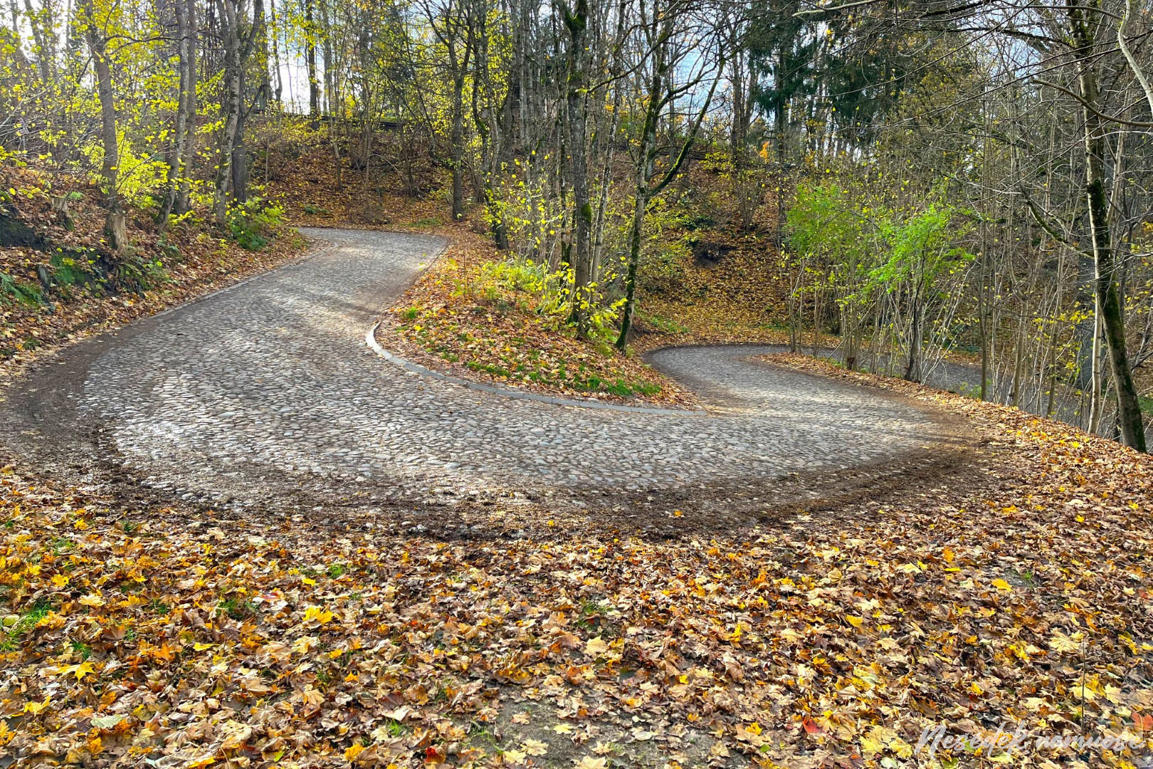
Lower Pavilni and Upper Pavilni are connected by many paths and only one road - the Tuputiškės serpentine. The serpentine pavement, which was in bad condition just a year ago, now looks neat and the sound of the bottom touching the stones is no longer heard when cars are driving. In autumn, when the leaves have fallen, you can see another object that is worth visiting as soon as you climb the steps. This is Pavilnis Church, the only surviving Catholic wooden church in Vilnius. You can also go inside, because the second section of the path around Vilnius ends here.
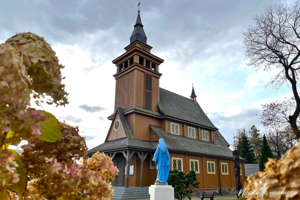

Photo: nesedeknamume.lt 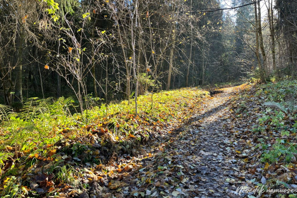
Photo: nesedeknamume.lt
It is a little longer and at the same time more complicated than the first one. After two climbs to Aukštaii Pavilnii, the hike can be completed, a little more than 11 kilometers have been covered. If it weren't for the part of the trail that leads through Rokantiške, the trail markings could be rated very well. However, I would recommend loading a GPX file on your smartphone to make the hike smooth from start to finish. Now you just have to decide - to travel home from Aukštoj or from Low Pavilni. The sun is already in the evening and two sections will be enough for today.
